


Electronic Data Collection
Transform Your Business Intelligence
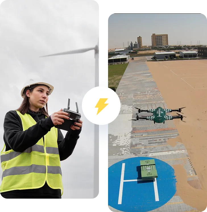
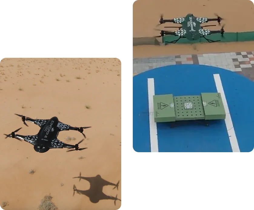
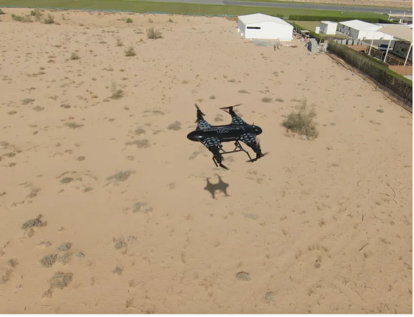
ZenaDrone’s electronic data collection services revolutionize how businesses gather, analyze, and leverage critical information. Our advanced drone platforms integrate specialized sensor arrays and proprietary software to deliver comprehensive data solutions across multiple industries.
Enterprise-Grade Data Acquisition
Our electronic data collection capabilities include:
Real-time Data Streaming
Our electronic data collection capabilities include:
Multispectral Analysis
Capture data beyond the visible spectrum for enhanced insights
Volumetric Assessment
Precisely measure stockpiles, terrain features, and structural elements
Thermal Mapping
Identify energy inefficiencies, mechanical failures, and safety hazards
Environmental Monitoring
Identify energy inefficiencies, Track changes over time with scheduled data collection missions
Data Processing & Analytics
ZenaDrone doesn't just collect data—we transform it into actionable intelligence. Our expert team processes raw information through advanced algorithms, delivering comprehensive reports with clear visualizations and practical recommendations tailored to your specific business challenges.
AERIAL PHOTOGRAPHY SERVICES
Professional Aerial Imagery
ZenaDrone delivers exceptional aerial photography that provides powerful new perspectives for:
Asset Documentation
Comprehensive visual records of properties, facilities, and infrastructure
Progress Monitoring
Sequential imagery tracking development over time
Marketing Materials
Stunning high-resolution visuals that showcase properties and projects
Insurance Documentation
Detailed visual evidence for claims and risk assessment
Site Planning
Complete visual context for future development considerations
Technical Excellence
Our aerial photography services feature:
- Ultra-high-definition 4K/8K resolution cameras
- Precision flight control for exact image framing
- Advanced stabilization systems for crystal-clear results
- Specialized lenses for wide-angle, telephoto, and macro capabilities
- Professional post-processing for optimal image quality
- Secure digital delivery of all assets

AERIAL MAPPING SERVICES
Precision Geospatial Solutions
ZenaDrone’s aerial mapping services deliver accurate, comprehensive topographical representations for engineering, construction, agriculture, and land management applications. Our advanced mapping capabilities provide the foundation for informed decision-making and precise project execution.
Mapping Technologies
Our aerial mapping solutions incorporate:
Orthomosaic Mapping
Geometrically corrected aerial images providing accurate measurements
Digital Elevation Models (DEM)
Detailed terrain visualization for surface analysis
3D Point Cloud Generation
Comprehensive spatial data for virtual modeling
Contour Mapping
Precise elevation documentation with customizable intervals
GIS Integration
Seamless incorporation with existing Geographic Information Systems
Industry-Specific Applications
Construction & Development
- Pre-construction site documentation
- Progress monitoring and reporting
- As-built verification and documentation
- Cut/fill volume calculations

Agriculture & Land Management
- Crop health assessment
- Irrigation analysis
- Property boundary documentation
- Land use planning

Infrastructure & Utilities
- Network inspection and documentation
- Corridor mapping
- Right-of-way monitoring
- Asset inventory and management
WHY CHOOSE ZENADRONE?
Technological Superiority
Our cutting-edge drone platforms integrate the latest advancements in unmanned aerial technology, providing unmatched data quality and operational efficiency across all services.
Professional Expertise
Our team combines years of experience in aerial operations, data science, and industry-specific applications to deliver solutions that precisely address your unique business challenges.
Regulatory Compliance
ZenaDrone maintains full compliance with all FAA regulations, carrying comprehensive insurance coverage and necessary certifications for commercial drone operations in all environments.
Customized Solutions
We don’t offer one-size-fits-all packages. Each ZenaDrone service is tailored to your specific requirements, ensuring you receive exactly the data and deliverables your business needs.
Data Security
Your information security is paramount. ZenaDrone implements enterprise-grade protection protocols for all data collection, processing, and storage operations.
Book a Demo
See how the ZenaDrone IQ Square operates firsthand! Please complete the form, and our team will contact you for a demo schedule.
Thank you for your message. It has been sent.