


Industrial Zoning Solutions with AI-Powered Drone Surveying
Industrial zoning is an important part of how cities and regions grow. It decides where factories, warehouses, and other industrial sites can be built. Industrial zoning solutions help keep businesses running smoothly while protecting people and the environment. Today, the latest technology is making this process faster and more accurate. One of the most powerful tools is the use of drones.
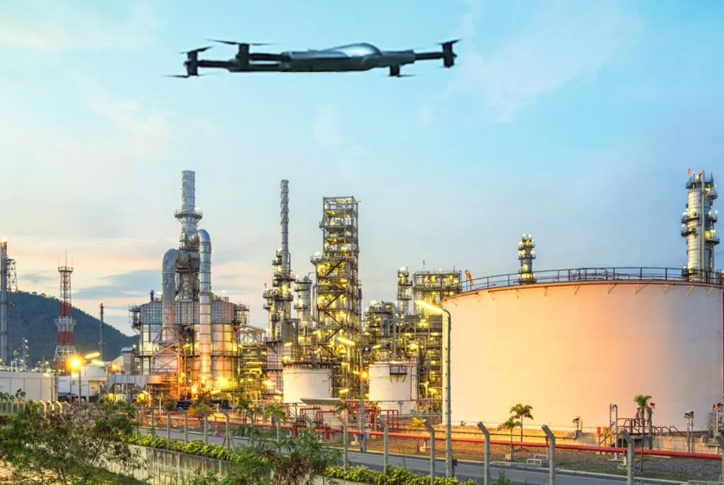
Our Zenadrone provides advanced industrial zoning drone services designed for surveying, inspection, mapping, and planning. It helps businesses, estate developers, and government teams understand about land, so they can make smart decisions.
What Is Industrial Zoning?
Industrial zoning is the process of identifying property for industrial uses. This covers large space for manufacturing facilities, factories, warehouses, and different plants. To decrease noise, pollution and safety hazards, these zones are separated from residential and business areas.
Property must be inspected and surveyed before it may be zoned for industrial use. In this process inspecting the landscape, surrounding buildings, roads, and environmental factors. Drone technology is crucial in this situation
Why Use Drones for Industrial Zoning?
Traditional land surveys can take a long time and require large teams. They may also miss important information. Drones make this process faster and more accurate.
Here are some Main benefits of using drones for industrial zoning:
- Fast Data Collection: Drones can cover large areas in a short time and work can be done in hours.
- High Accuracy: Drones capture High Quality images and data. This helps create accurate maps and models of the property.
- Cost Effective: Using drones reduces the need for large crews and heavy equipment, saving time and money.
- Safe Inspections: Drones can fly over difficult and dangerous areas without putting people at risk.
- Better Planning: With clear aerial views, planners can make better decisions about land use and layout.
Our Industrial Zoning Drone Services
Zenadrone offer a full range of services to support industrial zoning projects. Our goal is to provide clear, useful data that helps you move forward with confidence.
- Aerial Mapping: We use drones to create high-resolution maps of your land. These maps show boundaries, roads, and natural features. This is the first step in understanding how the land can be used.
- Land Inspection: Our drones inspect the site for any issues that may affect zoning. This includes uneven ground, water areas, or nearby structures.
- 3D Modeling: We build 3D models of the land using drone data. These models help planners see the full picture and test different layouts.
- Site Monitoring: If your project is ongoing, we can monitor the site over time. This helps track progress and ensure everything stays on plan.
- Environmental Review: Industrial zoning must consider the environment. Our drones help check vegetation, water flow, and nearby land use.
How Our Process Works
We follow a simple and clear process to deliver the best results:
1: Project Planning: We discuss your needs and goals. This helps us plan the drone flight and data collection.
2: Drone Survey: Our team flies drones over the site to capture images and data.
3: Data Processing: We turn the collected data into maps, models, and reports.
4: Delivery: You receive easy-to-understand results that support your industrial zoning decisions.
Who We Work With
Our industrial zoning drone services are ideal for:
- Real estate developers
- Construction companies
- Government agencies
- Urban planners
- Industrial businesses
Whether you are starting a new project or reviewing existing land, our services can help.
Why Choose Us?
We follow a simple and clear process to deliver the best results:
1: Project Planning: We discuss your needs and goals. This helps us plan the drone flight and data collection.
2: Drone Survey: Our team flies drones over the site to capture images and data.
3: Data Processing: We turn the collected data into maps, models, and reports.
4: Delivery: You receive easy-to-understand results that support your industrial zoning decisions.
4. Infrastructure Planning:
We focus on quality, safety, and simple solutions. Our team uses modern drone technology to deliver clear and reliable results.
- Experienced Team: Our experts understand both drone technology and industrial zoning needs.
- Advanced Tools: We use high-quality drones and software for accurate results.
- Clear Reports: Our reports are easy to read and understand, even for non-technical users.
- Customer Focus: We work closely with you to meet your goals and timelines.
The Future of Industrial Zoning
Industrial zoning is changing as cities grow and technology improves. Drones are becoming a key tool in this field. They provide faster insights and better data, helping projects move forward without delays.
By using drone services, businesses and planners can reduce risk and improve results. This leads to smarter land use and better industrial development.
Frequently Asked Questions (FAQs)
What is industrial zoning in land planning?
It defines how land is allocated for industrial use, including manufacturing, logistics, and infrastructure.
How do drones help in industrial zoning?
Drones capture high-resolution aerial data and create accurate maps for zoning analysis and compliance. ensuring transparency in land use decisions.
How do zoning industrial drones benefit society?
These drones improve accessibility, create jobs, enhance safety, and support sustainable development while ensuring transparency in land use decisions.
Is drone mapping accurate for zoning projects?
Yes. Modern drone systems provide centimeter-level accuracy, often exceeding traditional methods.
How does ZenaDrone 1000 impact industrial zoning processes?
ZenaDrone 1000 streamlines processes by providing accurate data for infrastructure planning, environmental assessments, and zoning compliance monitoring.
Book a Demo
Experience ZenaDrone in action! Fill out the form below and our team will be in touch to set up a demo schedule.
Thank you for your message. It has been sent.