Forest Preservation Drone
Reversing Climate Change
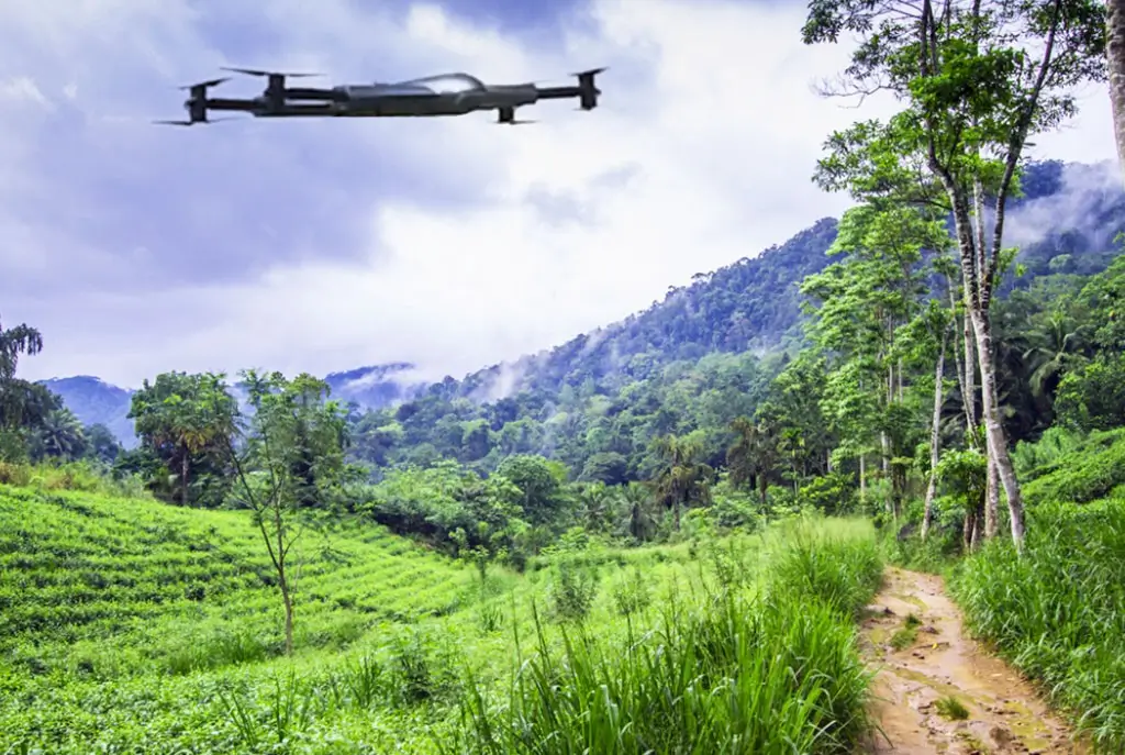
Forest ecosystems make up over 30 percent of the world’s biodiversity. However, deforestation continues due to commercial demands and population needs, exacerbated by effects like extreme heat waves and biodiversity loss.
forest service drone sustainability is vital for preserving biodiversity and reducing the effects of climate change in critical areas worldwide. Conservationists must adopt new strategies and improve their efforts to ensure forest sustainability.
Conservationists now incorporate new technologies into their strategies in the ongoing fight against climate change. For instance, using a forest drone can drastically improve traditional surveying and seeding methods.
What are the Challenges of Forest Restoration?
Forest conservation and preservation involve more than tree planting. They also include nurturing, cultivation, and even the science of groves and bushlands. For forest ecosystems, these are often considered the key species.<be><be>
As a result, protecting forests often comes with various challenges and hazards. In ensuring long-term forest preservation, conservationists usually have to contend with the following:
Increased Urbanization
Urbanization and climate change, which result in habitat loss, are the biggest challenges to forest preservation today. Also, deforestation activities due to urbanization result in greenhouse gas emissions, loss of wildlife, and many other problems.
Environmental Hazards
Hazards like dangerous terrain, heat waves, and forest fires can make large areas of forest cover impassable. Monitoring these areas can be extremely easy with tools like a forest service drone.
Time-Intensive Methods and Processes
Forest monitoring surveying methods and processes can be time-consuming and exhaustive for conservationists. Regular forest surveillance of vast tracts of forest area is needed to prevent potential hazards, such as forest fires.
How Can a Forest Drone Fight Forest Fires?
Drones for forest fires and environmental monitoring aren’t new. Drone technology is versatile enough to support a wide range of operations that help preserve forest cover worldwide.
Drone application in forestry also spans a wide range of cases, such as:
Wildlife Monitoring
Wildlife biodiversity is a critical factor in determining the overall health of forest biomes. Thanks to their onboard sensors and high-resolution cameras, drones can survey these areas without disrupting the natural ecosystem.
Tree Disease Monitoring and Prevention
Preserving forest biomes includes regularly tracking tree and plant health across large tracts of forest cover. Drones can monitor these areas quickly thanks to their onboard sensors, which allow for multiple types of imaging.
Forest Firefighting
Drones for forest monitoring and firefighting are a valuable asset for conservationists worldwide. Their speed allows them to cover large forest areas quickly, allowing forest rangers to coordinate their efforts better.
ZenaDrone 1000: Forest Monitoring Made Easier
The ZenaDrone 1000 is one of the best drones forest service teams can deploy for quick surveying. Its 4K camera captures stable footage, improving forest and wildlife monitoring and allowing for more thorough environmental assessment.
This extends to things like water inspection and pollution assessment via real-time imaging, and it employs multispectral sensors for data gathering. ZenaDrone’s thermal imaging system and GPS trackers help track wildlife movements.
Additionally, ZenaDrone can be used for tree and plant assessment, irrigation, plant hydration, and targeted chemical spraying. It can even help detect illegal loggers and poachers outside of these functions.
Book a Demo
Experience ZenaDrone in action! Fill out the form below and our team will be in touch to set up a demo schedule.
Thank you for your message. It has been sent.