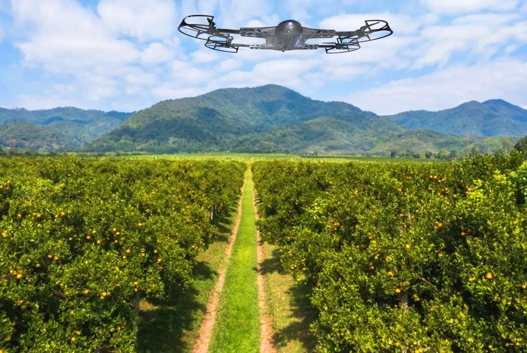
Crop Production Services | Boost Yield with ZenaDrone
Optimize Your Crop Production Services with ZenaDrone
ZenaDrone offers innovative solutions to revolutionize your crop production services. With our advanced drone technology, farmers can efficiently monitor crop health, optimize yields, and reduce operational costs.
Our cutting-edge drones are designed to enhance crop production services, providing accurate data on plant health, pest control, and irrigation needs. By leveraging this technology, you can achieve sustainable farming practices and maximize your harvest.
ZenaDrone’s expertise in crop production services ensures that your agricultural operations are supported with the latest tools for precision farming. Experience the future of farming with ZenaDrone.
The Benefits of Using ZenaDrone 1000 in Fruit Production

Crop and Fruit Farm Imaging
Drone technology provides aerial images and video footage of farmlands allowing farmers to assess their crops, farms and plantations. What’s most beneficial is the drone’s long-lasting battery life, which provides to it the ability to fly for long periods of time capturing high-quality video and photo images while surveying vast lands without exhausting farmers or disturbing the crops and the surrounding environment.
The ZenaDrone 1000 is an intelligent, innovative drone that helps farmers plan their seed planting patterns, stay updated with plant growth, and analyze soils. Drone technology allows farmers to address any issues on the farm promptly. They can easily spot pests, unfavorable weather, unwelcome visitors, crop yield, and other farming contingencies.
Data and Monitoring
Drones provide real-time coverage allowing farmers to track and monitor their crops, irrigation, plant hydration, fertilizer, farm equipment, and other environmental data crucial to their success. Farmers can make informed and quick decisions concerning the management, harvest yield, and overall crop health. The ZenaDrone 1000 surveys the farms providing high-quality data to predict harvest yield for current and future seasons. It maximizes harvest and limits overhead resources yearly.
Pesticide and Fertilizer Distribution
Crops require frequent irrigation and fertilization to maximize and maintain high harvest yeilds. While crop dusters are expensive, drones cost a fraction and little to no risk to the pilot and people on the ground.
The ZenaDrone 1000 has customizable attachments that enable farmers to connect fertilizer sprayers and remotely control the release of aerial sprays. It can reduce or eliminate the risks related to high-speed planes at low altitudes traditionally used for crop dusting. Aerial surveillance and crop dusting are safer, more efficient, and cost-effective when using done technology.
Drone technology can do more than perform aerial crop fertilization. It can also capture precise measurement of crop health that helps farmers recalculate the number of chemicals resulting in reduced environmental impact. Hence, the ZenaDrone 1000 supports sustainable and healthier crop and fruit farming methods.
Irrigation Adjustment and Fruit Production
The ZenaDrone 1000 contains multispectral sensors that are crucial in determining plant hydration. As a result, this intelligent drone captures and sends real-time accurate and vivid images and video footage of fruits and crops. Its sensors can provide an estimate of how much water is needed, plant growth and density, and general crop health. It gives farmers accurate data to adjust irrigation frequency, allowing plants to grow efficiently. Irrigation is a crucial part of plant growth that farmers anticipate from the start of crop planting to maximize drainage, prevent water pooling, and deter damage to sensitive fruits and crops.
Drone Planting
An emerging trend in drone technology is adding the feature of automatic planting. This system allows the drones to shoot coated seeds directly onto the soil, including the nutrients. It reduces manual labor and traditional farm machinery. Hence, drone planting is a highly efficient and cost-effective method of planting.
Drone technology reveals local fruit trees’ plant variety, vitality, and health condition. As a result, unmanned aerial vehicles can help simplify and support fruit production significantly.
Moreover, the data captured in the drone can also help secure animal and insect habitats. The ZenaDrone 1000 has machine learning software systems, 4k video, and a high-definition camera that provide precise results, improving fruit farm plantations.
Hence, the excellent camera and infrared multispectral sensors capture surface models and map terrains, depth, and topography. It helps determine the individual fruit trees’ condition, general health, and distinguishes slow-developing fruit trees among them.
Experience ZenaDrone in action! Fill out the form below and our team will be in touch to set up a demo schedule.
Thank you for your message. It has been sent.


