


Urban Planning
Advancing Urban Planning with Drone City Technology
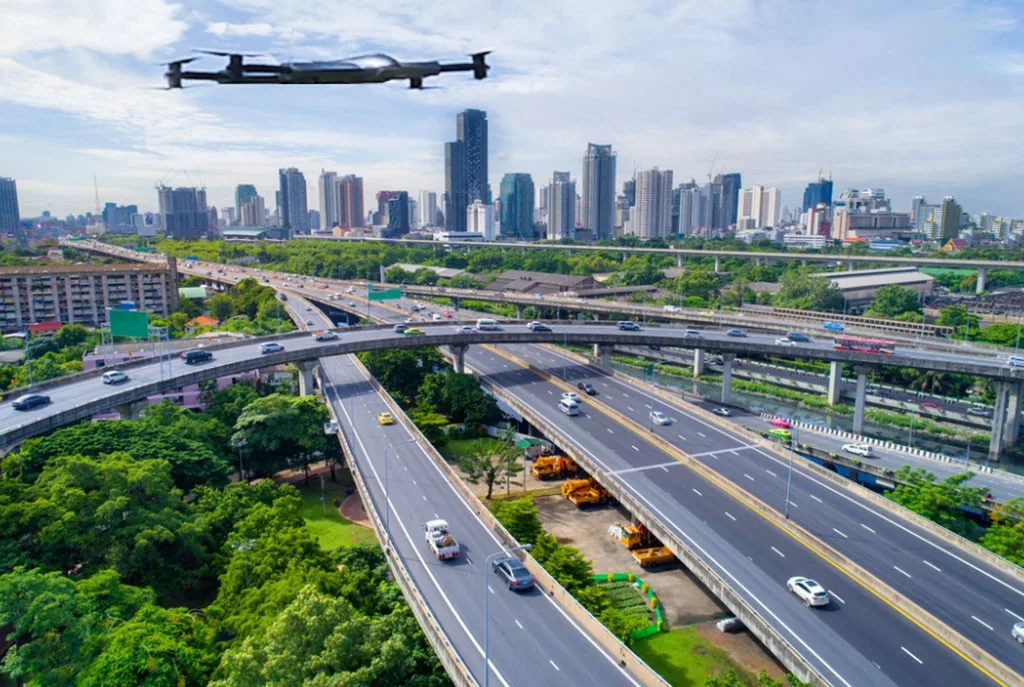
Today, city planning has received a big boost through the use of modern drones. The idea of a drone city is no longer a mere concept because of the enhanced features of current smart drones. Smart drones are critical assets in the planning and GIS professionals’ toolkit. Such cutting-edge tools offer different aerial views and can collect valuable, helpful information in urban design. Graphical resources such as urban planning drones equipped with high-performance cameras and state-of-the-art sensors give an immersive 360-degree studio tour view of the city. This data is useful in 3D construction and exploring city structure and system arrangement.
Drones for City Planning
The concept of a city of drones captures how these technologies are reconfiguring our engagements with the urban. Drones can reach areas that are hard to access or even dangerous for human beings and perform an inspection without being physically present at the scene. This capability contributes to improving the safety and effectiveness of urban planning procedures.
Using Urban Drones for Mapping
Multispectral sensors evaluate environmental conditions, an attribute of many urban drones. These sensors collect information through different wavelengths of light and offer information on vegetation conditions, pollution, and water. This information is critical in land use, resources, and environmental decision-making.
It is also notably convenient to use urban planning drones when delivering goods. These devices are primarily deployable and come with pre-set missions that do not require much planning. This makes the models durable to accommodate different weather conditions, and they remain valuable tools in ongoing city planning.
Why Choose ZenaDrone 1000 for Urban Planning Needs
The ZenaDrone 1000 is ideal for agencies to fully realize drone technology’s capabilities in city planning. This sophisticated drone can capture high-resolution images and data, perform multispectral collection, and be stable enough to support extensive city planning. From massive city construction plans and projects to more specific environmental surveys, the ZenaDrone 1000 is the tool that can get the job done. Using ZenaDrone 1000 in your urban planning approach means more accurate information, faster work, and well-thought-out decisions. Discover the possibilities of the ZenaDrone 1000 and learn how it can complement your strategies for planning and executing city growth.
Book a Demo
Experience ZenaDrone in action! Fill out the form below and our team will be in touch to set up a demo schedule.
Thank you for your message. It has been sent.