


Wildfire Drones for Fast Fire Monitoring
Wildfires can shift direction in minutes. Smoke reduces visibility, winds change fast, and rough terrain makes it difficult to reach the fireline safely. When you don’t have a clear view, response time slows down, and the danger increases.
This is why an increasing number of agencies, especially fire department drone programs, are adopting wildfire drones for real-time visibility. With the implementation of wildfire drones to monitor the wildfire, teams can identify danger zones earlier and respond to the wildfire movements in real-time. Wildfire drones used in wildfire control and management.
Key Technologies Used in Wildfire Drones
wildfires Drobe is challenging due to:
- Rapidly changing conditions that make planning difficult.
- Dangerous or inaccessible areas that ground teams cannot reach.
- The potential for fires to grow uncontrollably if not detected early.
Wildfire emergency response technology helps solve these problems by using advanced tools like drones to quickly find, track, and control wildfires:
- Provide real-time aerial views of fires, helping teams monitor fire behavior and spread.
- Access remote and hazardous areas, ensuring safety for firefighters.
- Analyze fire patterns to predict movements and allocate resources effectively.
By using drone wildfire detection , teams can respond more quickly, save lives, protect homes, and minimize environmental damage.
Benefits of Using Drones for Wildfires
Drones for wildfires have many benefits that old methods can’t provide. Here’s why they are important:
1. Early Detection and Monitoring
Drone wildfire equipped with thermal imaging cameras and advanced sensors can identify hotspots and small fires before they grow into larger threats. This capability allows for prompt action and better prevention strategies.
2. Enhancing Firefighter Safety
The safety of firefighters is paramount. Drones in wildfire gather critical information from a distance, allowing teams to make informed decisions without exposing themselves to unnecessary risks. During evacuations and emergency responses, a fire rescue drone can also support rapid scouting and safer decision-making.
3. Cost-Effective Operations
Compared to deploying manned aircraft or extensive ground operations, using wildfire drones is more budget-friendly. These drones require less manpower and resources while delivering impactful results.
4. Real-Time Data Sharing
Wildfire drones provide continuous real-time updates on fire activity. This information enables quicker decision-making and more effective deployment of resources.
5. Environmental Protection
Long-lasting wildfires severely harm ecosystems and contribute to carbon emissions. By detecting and controlling fires faster, drones help protect natural habitats, wildlife, and air quality.
How Wildfire Drones Work ?
Wildfire drone are equipped with advanced technologies that make them indispensable in combating wildfires. Here’s how they function:
1. Advanced Sensors for wildfire Detection
These drones use infrared cameras, heat sensors, and smoke detectors to pinpoint fire locations. They can detect fires even in remote or high-risk areas, ensuring quicker response times.
2. Predictive Analytics and AI
Wildfire drones utilize artificial intelligence (AI) to analyze fire behavior and predict its spread. This helps wildfire fighting teams prioritize areas that need immediate attention and plan their strategies more effectively.
3. Collaboration with Ground Teams
Drones in wildfire fighting work hand-in-hand with ground teams. They provide live aerial footage and detailed maps, enabling coordinated efforts to suppress fires efficiently using fire suppression drones.
Who Uses Drones in Wildfire Management?
The utility of Wildfire drones extends beyond fire suppression. Several industries benefit from their capabilities including:
Environmental Conservation
Drone in wildfire helps monitor forest health, identify dry areas, and detect pests that may increase wildfire risks. This proactive approach aids in preserving ecosystems and preventing fires.
Insurance Sector
Drones provide insurers with accurate assessments of wildfire risks and damages. This streamlines claims processing and ensures faster support for affected families and businesses.
Utility Companies
Wildfire Drone technology is invaluable for inspecting power lines and other infrastructure. Early detection of potential fire hazards allows for timely repairs, reducing wildfire risks.
Why Choose ZenaDrone for Wildfire Drone Operations?
ZenaDrone wildfire drone solutions can help you:
- Improve early detection with wildfire drones
- Strengthen drone wildfire monitoring with real-time updates
- Increase safety by reducing exposure to hazardous zones
- Support better decisions with accurate aerial intelligence
Key Features That Matter in the Field
- Durability: Built to withstand harsh conditions and long operational hours.
- Thermal Imaging Cameras: Identify heat sources and hotspots with precision.
- Real-Time Monitoring: Deliver live updates to ensure informed decision-making.
- Customizable Options: Adapt to the specific needs of Wildfire teams, from small-scale operations to large emergencies.
Frequently Asked Questions (FAQs)
How do Wildfire drones help in wildfire management?
Wildfire drones help in wildfire management by providing real-time aerial views, detecting hotspots with thermal imaging, and analyzing fire behavior using AI. They help teams plan effective strategies, access dangerous areas safely, and prevent fires from spreading uncontrollably.
Can Wildfire drones be used in other industries?
Yes, Wildfire drones are beneficial beyond fire suppression. They are used in environmental conservation to monitor forest health, in the insurance industry for assessing wildfire risks, and by utility companies to inspect infrastructure and prevent potential fire hazards.
How are Drones Used for Fire Department?
Fire departments use drones for various tasks, including real-time fire monitoring, mapping fire perimeters, and identifying hotspots with thermal imaging. Drones also help assess structural damage, locate trapped individuals, and provide situational awareness during emergencies, making operations safer and more efficient.
Are drones for wildfires affordable?
Yes! Drones save money by replacing the need for big planes and lots of ground crews. They make wildfire management cheaper and faster.
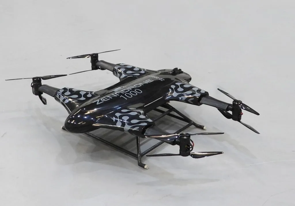
Why is ZenaDrone 1000 the best choice?
ZenaDrone 1000 uses smart tools like AI, advanced sensors, and custom setups to give the best wildfire detection and management. Our drones help firefighting teams work better and keep more people safe.
ZenaDrone 1000: Leading the Way in Wildfire Management
Wildfires are a big problem, and wildfire drones can help. ZenaDrone uses smart technology to keep people, homes, and nature safe.
Our drones for wildfires, like the ZenaDrone 1000, can do drone wildfire detection, monitor fires in real-time, and help stop them. Contact us today to see a demo and learn how we can help with wildfire control.
Experience ZenaDrone in action! Fill out the form below and our team will be in touch to set up a demo schedule.
Thank you for your message. It has been sent.