


How Does an Offshore Oil Rig Work
Offshore oil rigs are vital for construction and oil and gas work. This guide explains how they work, how they are built, key risks, and how drones and UAVs improve safety and efficiency
Offshore oil rigs are vital for construction and oil and gas work. This guide explains how they work, how they are built, key risks, and how drones and UAVs improve safety and efficiency

This article explores the key rules, risks, and best practices of drone privacy laws. This helps you distinguish between legal flight operations and drone trespassing that violates property and homeowner rights
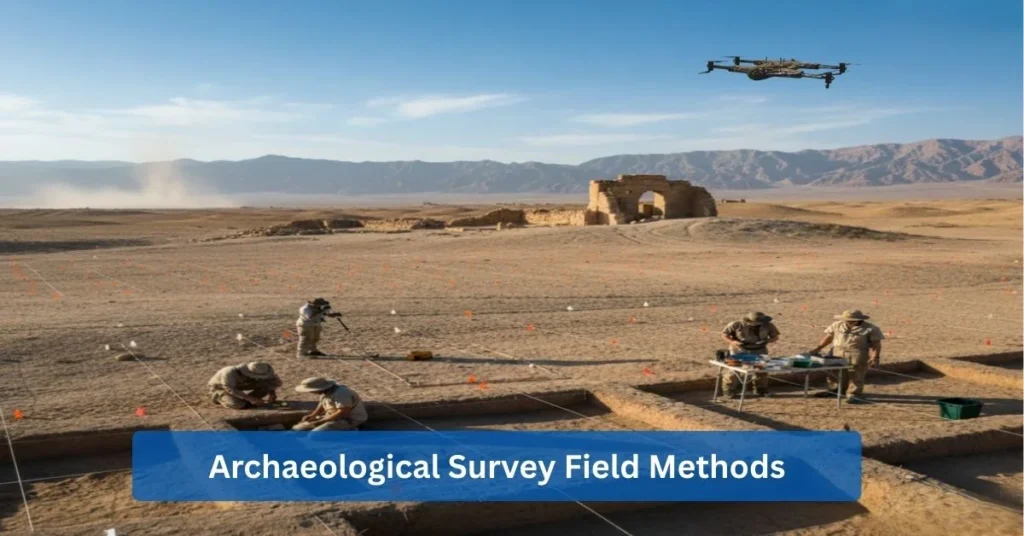
This complete guide covers all parts of archaeological field surveys. You’ll learn how archaeologists find out about the past using everything from old-fashioned methods like field walking to new technologies like drones with AI
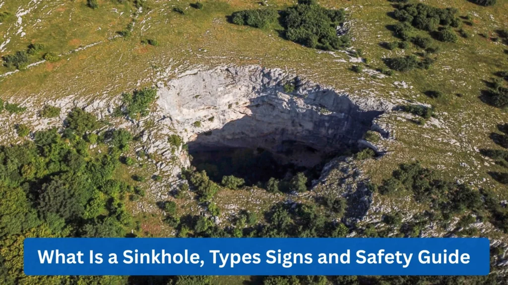
Sinkholes are not new to everyone. Although not surprising, sinkholes are still both fascinating and terrifying natural phenomena. Its large consumption of land space and its depth added a quite intriguing question as to how it is created
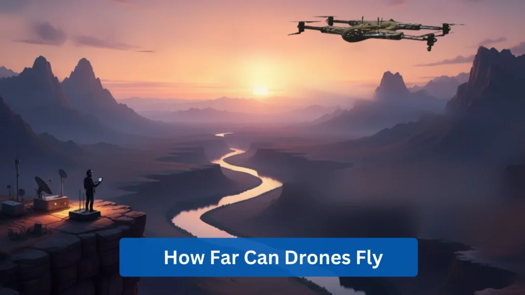
I’m sure you’ve been there. Someone asks how far a drone can go, and you find that simple question doesn’t have a simple answer. The truth is, it’s a lot more involved than it seems.
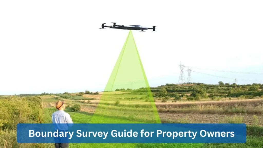
Drones have many applications that are useful in different industries, from passenger transport to logistics. You can even use a drone for industrial surveillance or use a drone for farming.