


Buy Commercial Drones Online The commercial drone industry has grown rapidly, with many industries using drones for aerial photography, surveillance...

Affordable Drones: 8 Factors You Need to Consider Best and cheap don’t need to stand on the opposite ends of...

Purchasing The Best Drone Features to Consider As a strategic and competitive advantage, incorporating drones into various businesses demonstrates their...

Best Selling Drones: A Guide to Choosing the Right One for You Drones are becoming more popular and accessible than...

Drone Delivery: Everything You Need to Know About It The realm of e-commerce and drone delivery services has been buzzing...
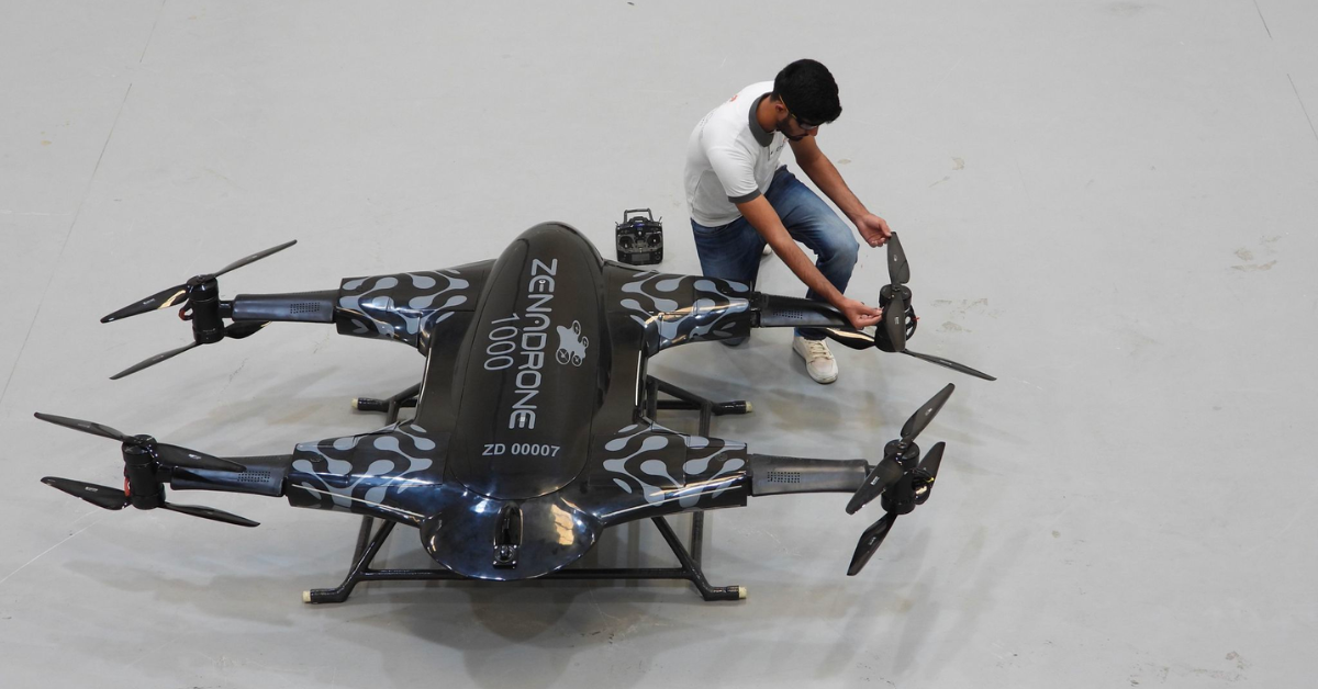
Heavy Lift Drone for Sale: Everything You Need to Know Are you in the market for a heavy-lift drone? A...