Deep Learning and Drones in Precision Agriculture

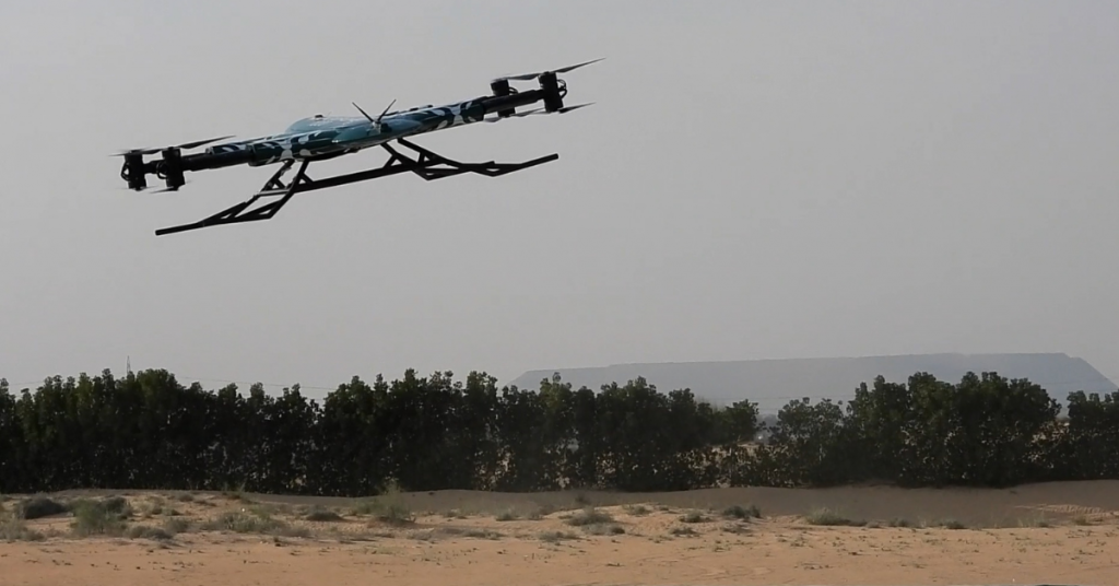
Drones have several practical applications, including photography, videography, and delivery, and are rapidly gaining popularity. Incorporating AI makes drones more efficient and valuable in a variety of industries. Users can program drones’ flight paths to be independent with the help of AI. As a result, drones can be used in various contexts without requiring a human pilot.
AI Integration for Drone Digital Optimization
You can automate drones’ navigation and movement with the help of AI. Many tools, such as GPS tracking, computer vision, and machine learning algorithms, can accomplish this. They have found applications in many fields, from law enforcement to search and rescue to farming. Consequently, businesses can enjoy the following benefits:
- Industries can use them in disaster zones or battlefields where human beings are unsafe.
- They have a more excellent range because they can fly for more extended periods without becoming fatigued.
- They may be taught to operate independently, allowing them to adapt swiftly to new circumstances.
- Industries can integrate them into the agricultural sector for extensive monitoring and data gathering.
- We can draw parallels between AI, deep learning, or machine learning in drones. With its human-like knowledge acquisition model, deep learning is a subfield of machine learning and artificial intelligence (AI). It’s helpful for data scientists because it streamlines the gathering, analyzing, and interpreting massive amounts of data. Therefore, it’s advantageously integrated with drones and deploying agriculture drones.
Drones and Their Potential Impact on Farming
Farmers and agriculturists using unmanned aerial vehicles (UAVs) in agriculture range from pest control and plant health monitoring to livestock management and soil analysis. One of the most exciting uses of drones in the agricultural sector is to check on the condition of plants. The resilience of a farmer’s crops determines how much of a harvest they will be able to reap. Disease-causing organisms, fungal pests, and insect pests all pose a risk to agricultural production. A plant’s productivity may suffer if there isn’t enough carbon and nitrates in the soil.
UAVs using RBG cameras, thermal imaging, and multi-spectral photography may immediately accomplish those above. They represent cutting-edge innovation that is just beginning to transform the practice of precision farming. With the correct equipment, a drone pilot can inspect a farm, collect plant data, and provide a detailed report to the farmer. Consequently, drones help farmers may access accurate data in real-time.
Critical Benefits of Using Drones in the Agricultural Sector
The use of drones in agriculture has long been integrated ever since farming has optimized their work processes for faster and more precise data gathering. Over the years, drones have helped the agricultural sector gain more revenue, decrease the chances of loss, and help farmers alleviate their work processes. With drones in the farming sector, the benefits are endless since it is continuously innovating.
Reduced Expenses for Analysis
Drones offer more than just satellite imagery to the farming community, allowing for rapid, comprehensive scanning of broad areas. Due to the high cost of satellite imaging, farmers are increasingly turning to unmanned aerial vehicles (UAVs), or drones, since they are more cost-effective, faster, and provide better coverage. Drones are advantageous in agriculture since they allow for more precise field monitoring.
Climate Change Adaptation
Climate change significantly impacts farmers, reducing crop yields and making farming drones more difficult. As a result, farmers seek innovative ways to boost output, and drones are at the top of that list. For instance, farmers have to worry most about their irrigation systems when it comes to droughts. With the correct sensors, drones can tell farmers exactly which areas of their farms need more irrigation.
Checking on the State of the Field
Accurate field mapping using drones, including elevation data, helps producer’s spot abnormalities in the field. Drones are also utilized to check the soil and crop conditions in areas. Knowing the field’s elevation helps determine drainage patterns and wet/dry zones, leading to more effective watering strategies.
Thanks to upgraded sensors, some agricultural drone retailers and service providers can monitor soil nitrogen levels. Because of this, fertilizers may be spread evenly across a field, eradicating areas where growth is stunted.
Propagation by Planting and Seeding
Planting seeds with drones is one of the more recent and less common uses of drones in farming. The forestry industry utilizes automated drone seeders; however, this will soon change. Replanting in inaccessible regions is now possible thanks to the use of drones.
Facilitates Increased Output
The agricultural sector can meet the needs of a large population by using drones in agriculture. Drones have made it easier for farmers to monitor their crops in the field. Satellite imaging is now the most advanced option. However, farmers have opted to use drones instead.
Due to the limited frequency of image retrieval—once per day, which is insufficient for farmers—satellite imaging falls short in terms of accuracy. However, thanks to drone technology, you can get a real-time feed or as many still images as you need, making the process much more exact and time-saving.
The Bottom Line
Learning about drone technology and taking advantage of its advanced features is crucial. UAVs are becoming increasingly valuable for agriculture as new technology is incorporated into the devices.
Contact Us
Thank you for your message. It has been sent.
Latest Posts
Social Profiles


