


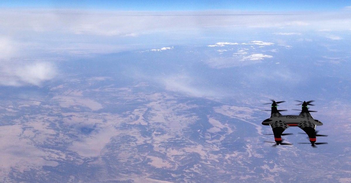
GPS Drone Photography: The Future Of Aerial Imaging Capture
In the last few years, drone photography has increased globally. At first, most saw it as a toy for some enthusiasts. The growing demand for aerial imaging for commercial and consumer industries is changing operations in several sectors. Drones are now more accessible and affordable, changing how we view the world. GPS drone photography has practical applications in aerial photography, surveying, inspection, and other similar activities. Drones now replace planes in the aerial photography that local governments currently use to monitor land use. Before we explore the future of drone photography, let’s look at what defines a GPS drone.
GPS Drone: What Defines The Vehicle
GPS drones have a GPS module that allows them to determine their location with a system of orbiting satellites. The drone operates by connecting to the signals from these satellites, including positioning, autonomous flight, homecoming, and waypoint navigation.
GPS drone photography receives radio signals from a global orbiting satellite network. The module can calculate its position, velocity, and time with the GPS feature. The availability of more signals and systems improves location accuracy, which benefits all of the drone’s GPS-related operations. There are numerous GPS systems in use worldwide. The GPS satellite network is standard throughout North America; at least four satellites are visible from the ground. Russia runs the GLONASS GPS satellite constellation and the Galileo GPS constellation. While India is creating the IRNSS GPS, China is making its own GPS network, the BeiDou.
Four Recognized Benefits Of GPS Drones
Drones with integrated GPS systems can benefit from improved flight capabilities and more sophisticated intelligence features. Operators who are still learning may find it easy to fly drones. Listed below are four recognized benefits of utilizing GPS drones:
Directional Navigation
The GPS lets the UAV pilot pre-plan the drone’s flight path or mission. The pre-planning allows the pilot to reduce the amount of manual control required. Skilled drone photographers can organize their routes to get particular images. Nonetheless, several business industries heavily rely on waypoint navigation in drone technology to enable aerial operations.
RTH Mode
RTH, also known as Return To Home mode, allows GPS drones to land safely in an area. A drone returns in an accident, such as insufficient power, lost transmission, lost remote control, and confusion. RTH mode allows its GPS to return to its starting place to avoid unit and data loss.
Flight Record Log
A flight log can be generated for each flight by the GPS drone automatically. The flight log will document every action taken during the flight and provide the drone’s real-time location and tracking.
Steady Flight Mode
The drone pilot controls the aircraft manually for hover photography. GPS drone photography locks the signal, recognizing and keeping the location in a fixed place, freeing up manual control. By locking the GPS signal, the drone automatically returns to its original position when affected by the wind. A steady flight mode and calculated heading are advantages of GPS drone videography for capturing clear recordings.
Four Handicaps Of GPS Drones
GPS drones could be better. It’s a technology that is currently in development. Many users and operators still find a few handicaps in utilizing drones for photography and videography.
Poor Signal Strength
Drones’ GPS-reliant operation depends on the signals they can pick up. When the drone flies over a large area, it’s possible to lose the real-time position due to poor signal strength. Poor signal strength increases the risk of a collision or runaway drone.
Higher Power Consumption
GPS module requires more power and causes the battery to discharge more quickly. The additional weight and complex add-ons shorten the battery life more quickly. UAV battery life shrinks when drones begin to carry GPS modules. Usually, GPS drones that fly longer cost more. It’s highly advisable to drone operators to have additional drone battery accessories when flying for long periods.
Price Cost
Drones are multiplying in the market. The pricing for these GPS drones may go higher, depending on the brand and model. Beginner GPS drones can fetch up to 1,000 USD, while specialized commercial models go up to 4,000 USD.
Incompatible Environment
The inability of GPS drones to take flight in areas with weak GPS signals is a disadvantage. Strong magnetic fields will obstruct the GPS signal and prevent the GPS drone from taking off. An incompatible environment may result from an inadequate GPS receiver or a susceptible sensor. Modifying a drone’s system for more accurate GPS and better positioning helps.
GPS Drone Videography Improving Various Industries
Aerial imagery has been in use in different sectors for decades. Several industries have experienced a boost in productivity, profitability, and efficiency. Here are examples of industries benefiting from GPS drone aerial imagery and videography:
1. Construction Industry
Integrating aerial imaging and drone photography into the construction industry opened new methods and better operations. These include:
Site Monitoring
Integrated aerial imaging can inform the client or investor in real time by presenting continuous progress.
Project Outlining
Construction managers can now plan the safety measures, tools, workforce, and time required to complete a project with aerial imagery.
Building Modeling
Thanks to drones, construction organizations may produce a 3D model of the result with greater accuracy and precision.
Surveillance
Aerial imaging provides a more accurate, secure, and economical image of the construction site.
2. Real Estate Industry
The housing market is changing, and more people are purchasing homes online. Real estate sales and purchases are increasingly relying on GPS drone photography. Aerial images can show the property in detail, not seen from the ground.
Higher ROI
Aerial imaging accelerates home sales by 68% compared to those without it. Drone utilization expedites the property buying process for the benefit of the agent, buyer, and homeowner.
Stream Online Information
Ninety percent of homebuyers search the internet for properties. In a competitive market, scheduling tours and open houses can take much time from buyers and agents.
Interior Design
Drones are more accurate than stationary cameras at capturing a home’s layout. Potential buyers can view a virtual tour of a house created by drones.
Marketing
Marketers previously relied on a photographer in a helicopter before the usage of aerial imaging. When the homeowner or agent is ready for images of the property, drone photography is considerably more accessible and less expensive.
3. Agriculture And Ranching
Weather patterns and population trends are just two examples of how quickly the planet changes. Given the rising population and extreme weather, farmers are considering solutions to meet demand and supply. Aerial imagery has made farming and ranching more efficient, from planning to harvest.
Irrigation
Aerial imagery saves entire crops and more effectively documents losses for insurance considerations.
Crop Treatment And Spraying
LiDAR is a remote sensing technique that can identify things in actual space to prevent collisions. The drone with LiDAR sprays the right amount of fertilizer and insecticide from a precise distance, ensuring even coverage.
Examination Of Soil And Fields
Drones can give information on soil nitrogen levels and irrigation requirements to maximize agricultural output.
Cultivation
With an 85% cost reduction thanks to drones, farmers can now cultivate with a 75% increase in efficiency.
Remote Drones: Moving Towards An Ergonomic Society
In conclusion, the aerial imaging market is expected to continue its rapid growth and expansion, driven by advancements in technology and increasing demand across various industries. The precision and efficiency of aerial imaging have already proven valuable to many sectors, and this trend is likely to continue in the coming years.
As more businesses and individuals recognize the benefits of GPS drone photography, the market is expected to grow significantly, creating new opportunities for businesses and professionals in this field. Therefore, it is safe to say that the bottom line is that the aerial imaging industry presents a lucrative opportunity for growth and innovation in the years to come.
Contact Us
Thank you for your message. It has been sent.