


Best Drone for Surveying Improve Accuracy and Efficiency
The widespread use of drones in recent years has wholly disrupted several sectors by improving productivity and precision. One sector that has seen significant change due to drone use is surveying. Looking for the best drone for surveying might be a challenge due to the vast array of choices in the market.
Nonetheless, explicitly curating its features to meet your industry’s needs will make it highly sustainable in the long run. As a result, your company can indulge in the many advantages that aerial survey drones can provide.
Benefits of Using Drones for Surveying
Drone surveying may aid society because drones have many valuable features and activities. Unmanned aerial vehicles (UAVs), equipped with downward-pointing sensors such as RGB or multispectral cameras and LIDAR payloads are used to conduct drone surveys. With its various functionalities, you may effortlessly accomplish the following:
Deliver complete and precise information
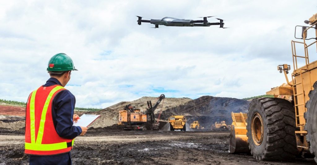
Multiple representations of the hundreds of metrics collected during a single drone flight are possible. In this situation, the topographical mapping capabilities of the ZenaDrone 1000, one of the best drones available, ensure that your aerial photographs will be clear and precise. The resulting map or 3D model will have 3D geo-data embedded in each pixel.
Map Hard to Reach and Inaccessible Areas
Drones may take off from practically any location to conduct surveys from above. Unreachable places, dangerously steep slopes, and unsuitable terrain for conventional measurement instruments are no longer obstacles. Highways and railroad tracks can remain open without additional administrative burden.
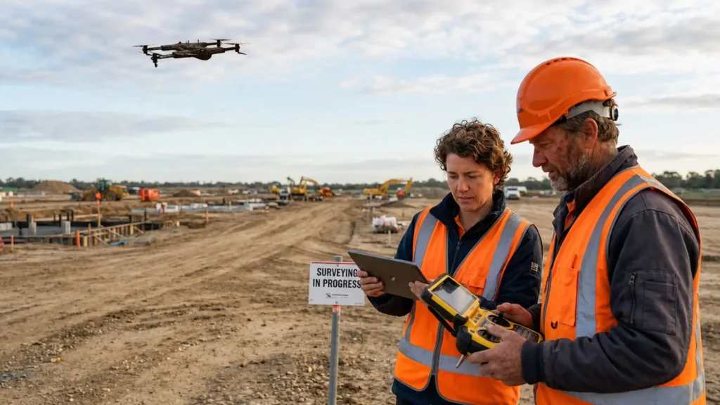
Cut down on survey expenditures and field time
Drones can collect topographic data up to five times faster than traditional land-based approaches with fewer people involved. You can also save time using PPK geo-tagging because you won’t have to set up as many GCPs. In the end, you can distribute survey data quickly and cheaply.
You can streamline better project management
Easier access to data you need in real-time is necessary to have maximum project sustainability. With the advent of technology constantly innovating, optimizing your workflow using digital tools will give you an edge in any industry you are partaking in your projects.
You allow your sector to adopt more optimized methods and tools for efficient and faster workflow. Thus, you can streamline better and even safer project management for your employees on and off-site.
Gain access to advanced drone surveying software
Drones for surveying and mapping have multiple software features that you can have once you incorporate an aerial survey drone. For instance, ZenaDrone 1000 has several functions which you can utilize that include but are not limited to the following:
- Multispectral Sensors: The ZenaDrone 1000 has machine learning and many sensors that can measure the field’s temperature, brightness, and depth to provide precise readings.
- Integration: The ZenaDrone 1000 performs daily scans of the region, using multispectral sensors to record high-resolution photos and videos of the terrain and collect data about its features.
- Machine Learning: Machine learning allows programmers to teach drones to identify things and understand their environments. Since they are not limited by the laws humans have put up, they may judge based on what they see.
- Autonomous Aerial Surveillance Modes: The automated takeoff, hovering, and patrolling capabilities of the ZenaDrone 1000 allow the pilot controller to grasp any terrain and circumstance better, regardless of the weather.
The best drone for surveying is not only limited to its portability and flight time. It also provides functionalities beyond what human employees can offer as what innovation employs over the year. It seamlessly makes workflow easy, fast, and much more streamlined. For optimized and digitally controlled work processes, a drone roof survey, drone surveillance, or drones for various industries is an excellent tool for its efficiency.
Getting The Best Drone For Surveying
Your requirements, available funds, and intended method of surveying might all influence your choice of the best drone. A drone survey cost may also differ, depending on its functionalities. You might pay less for recreational drones where you can take videos and photos for birds-eye-view photography and videography. However, it might have a limited number of functionalities that industrial drones, especially for surveying, can maximize.
There are a few things to keep in mind while shopping for a surveying drone:
- Legal Requirements: In some states and countries, drone use is prohibited due to local protocols and laws you must abide by. Your local government might require you to get and present a certification to validate your drone usage for industrial use, especially for livestock management. By this, getting permission and approvals from authorities is the first thing to avoid any issues over time.
- Drone Type: If you are done browsing the internet on what drones are available, you might have seen several different designs. It might be tempting to go for the most avant-garde drone. However, this may not have the best functions and hardware design for your usage. Dig deeper into different drone types below for more information:
- Ready To Fly (RTF): RTF drone is the best drone to choose from as a beginner user. All you need to do about this drone is attach all the necessary rotors, blades, and such to use it. However, ready-to-fly (RTF) drones are the simplest to operate since they include everything required for flight in a single package.
- Almost Ready to Fly (ARF): Due to the great customization available with ARF Drones, they are widely used by individuals with racing aspirations. However, they are safer in the hands of professionals.
- Plug and Play (PNP): With a PNP drone, you only have to pay for the device itself, as the transmitter and receiver are not included. If this isn’t your first drone, you might find it convenient to utilize your existing receiver and transmitter.
- Bind and Fly (BNF): Advanced users often prefer BNF drones since they already know a suitable transmitter. They are less expensive than ready-to-fly alternatives since they exclude the transmitter. However, more effort is needed to get them going.
In Conclusion
There are a wide variety of sectors that might profit from search and rescue. Many criteria, including survey site size, output quality sought, budget, and personal preferences, determine which drone is appropriate for your land surveying job.
Contact Us
Thank you for your message. It has been sent.