Everything You Need to Know About Aerial Survey Drone Providers

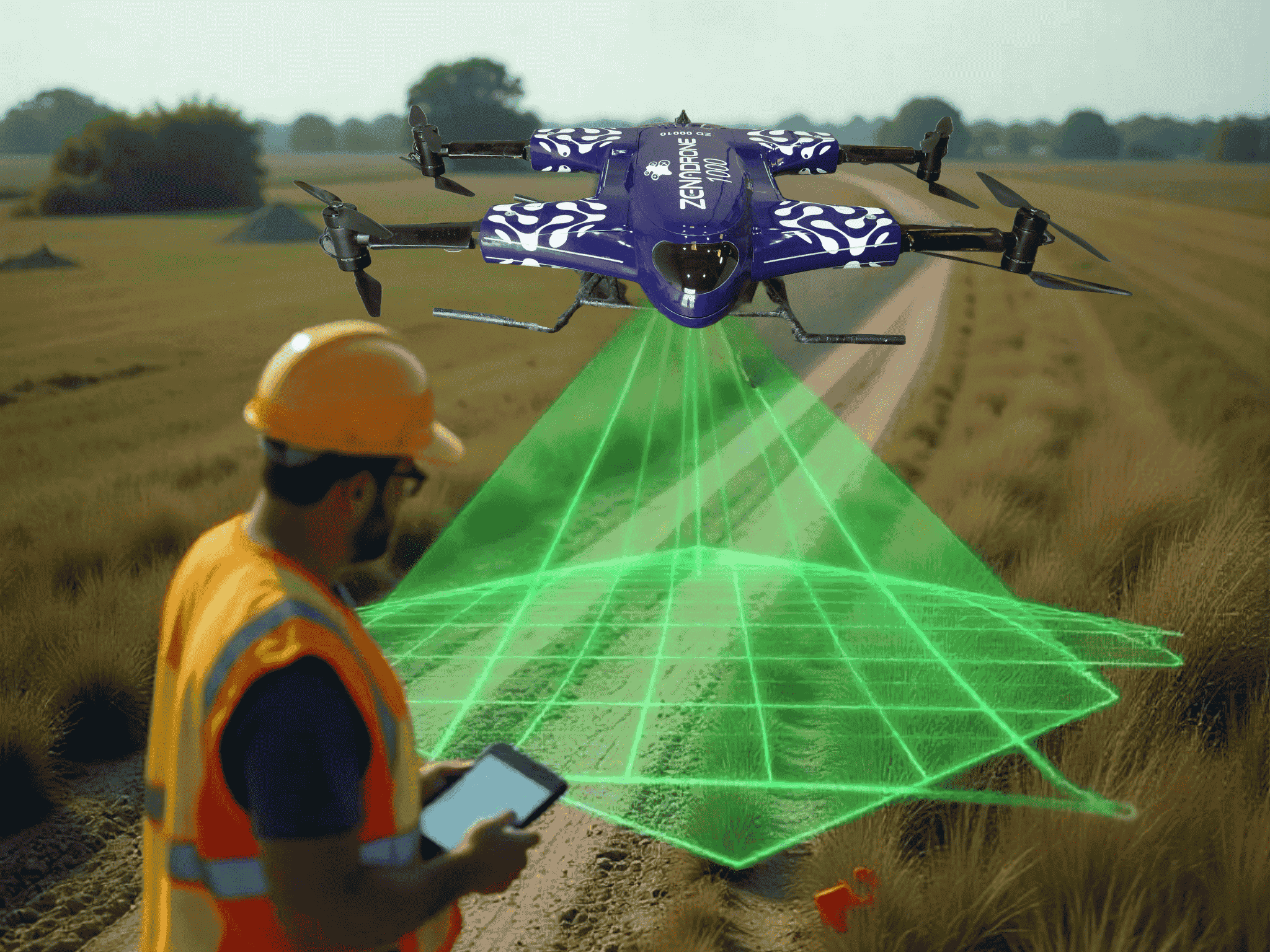
Drones are powerful tools for photographing and video footage over long distances and vast areas. Outside of aerial photography, they can collect images for 3D mapping and conduct land surveys. Aerial survey drone providers offer drones specifically designed for performing different types of land surveys. While there are many types of surveys, the two most common ones are photogrammetry and LiDAR.
How are Drone Surveys Performed?
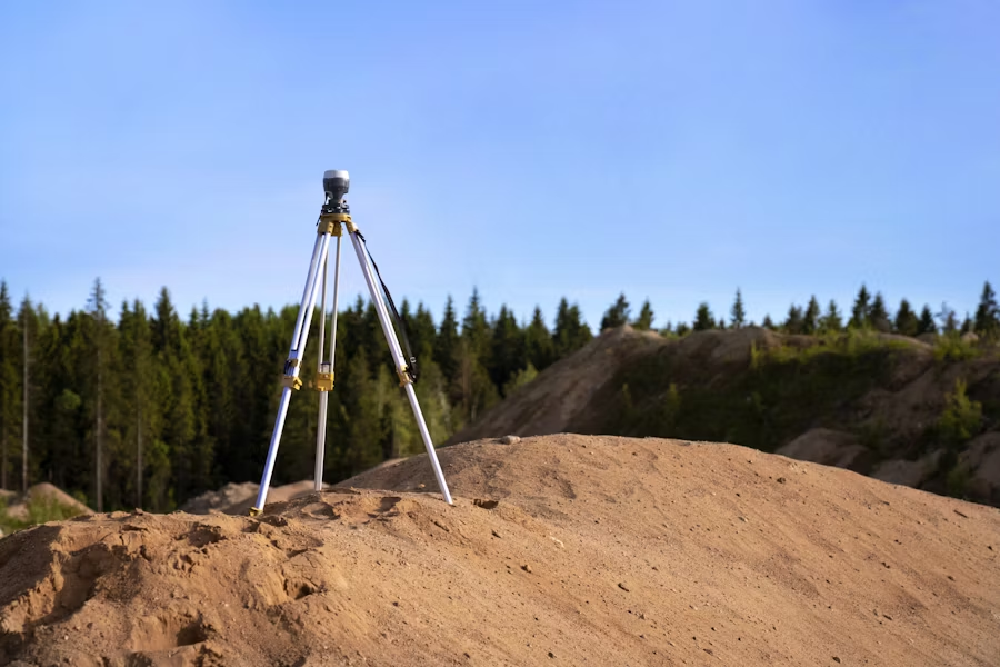
In a nutshell, a survey determines the distance and positioning between two points. These points can be in a 2D or a 3D space. Drones use things like ground control points, real-time kinematic (RTK) surveys, and post-processing kinematic (PPK) surveys for accurate positioning. Once drones collect the data, it is processed using specialized software to make digital elevation models and 2D maps. Drone surveys help make crucial decisions on different processes, from infrastructure upkeep to delineating property boundaries.
Professional aerial mapping services often use drones with RGB visual imaging instead of other multispectral sensors for aerial data. The two most common drone mapping or surveying methods are the following:
- Photogrammetry uses high-resolution images that are processed and stitched together to create 2D maps or 3D models
- LiDAR stands for “light detection and ranging”, and is a method that uses pulses of light to detect small objects
What are Aerial Survey Drone Providers?
Aerial survey drone businesses are third-party businesses that provide drone survey services. They use specific drone models specializing in data collection, including laser scanning and thermal imagery. Survey drone providers also offer different services, from simple aerial surveys to satellite images. With professional aerial mapping services, businesses get the following benefits:
Improved Data Accuracy
A land survey by a professional aerial mapping company produces reliable data and drone data collection. This is possible thanks to their specialized drones, which can take high-quality photos with accurate data points.
Increased Safety
Drones can photograph and survey inaccessible or hazardous areas. Aside from taking up fewer people, drone surveys also minimize the risk for surveying teams. Drones can also use LiDAR imaging to see through areas with dense vegetation.
Faster Turnaround
Drone surveys can collect data for 3D models, 2D maps, and other processes in as little as one day. For areas less than 100 acres (4046 square meters), aerial survey drone providers can complete a survey within hours. Overall, it is best to check aerial survey drone pricing so you know how much you will need to prepare to achieve the aforementioned benefits from providers for your operations.
What are the Different Applications of Drone Surveys?
Many top aerial survey companies provide drone surveys for different industries. These industries vary from agriculture to construction and mining. Engineers rely on drone surveys for terrain assessment when working on new infrastructure.
Below are the different applications of drone surveys:
Cartography
Drone surveys are capable of generating high-resolution maps and 3D models. They are handy for updating maps of places with low-quality or no data previously available. Because drone surveys are more precise than traditional surveys, they can also capture new details not previously seen. These updates can give engineers and site inspector’s new and better information to make more informed decisions during construction.
Land Management
Site scouting, planning, design, and the final construction of infrastructure and utilities need accurate data from drone surveys. Aerial survey drone providers often include data collection for creating 3D models alongside BIM or CAD software. The resulting images are used when constructing roads, buildings, and other utilities like pylons and power lines. Construction and utility companies can outsource the collection and processing of initial data to third-party drone services.
Volumetric Measurements
In mining industries, drone surveys can also take volumetric measurements. These are primarily used for calculating existing stocks in mines and quarries. Volumetric measurements also measure areas like landfills outside the mining industry. Sanitation departments of the top aerial survey companies use this data to determine whether a particular landfill has reached capacity.
Urban Planning
Aerial drone survey providers help urban planners collect data on large swaths of complex urban areas. Unlike traditional surveying methods, drone surveys need fewer employees to study local and environmental conditions. Urban planners and engineers can speed up the initial stages of area development with drone-collected data. Aside from saving time, they also get more accurate results.
Slope Monitoring
Ortho-mosaic maps can be generated at different times to detect changes in earth movement. Drone surveys can also be used for slope monitoring for early detection and mitigation of landslides. This type of survey is often used in many industries to prevent potential damage to key infrastructure. Disaster management utilities can use this data to implement specific changes or needed maintenance.
What are the Different Types of Deliverables Drone Surveying Can Offer?
Drone survey providers fly varying drone models outfitted with different cameras and sensors. Depending on the software, the drone model, and the data sensors, professional aerial mapping services can offer the following output:
- 2D and 3D Ortho-mosaic maps. Many drone survey providers specialize in 2D ortho-mosaic mapping, which involves stitching hundreds of photographs together. 3D ortho-mosaic maps use a similar process without distorting images onto a flat surface.
- Thermal maps. Drone surveys and inspections can identify areas with high thermal signatures, from complexes to cities and even military bases. They can also safely detect potential leaks from steam pipes, hot water lines, or condensation return lines.
- LiDAR maps. LiDAR imaging allows drones to see through trees and ground cover by using lasers to fire at specific targets. The collected data is then used for creating a high-density point cloud essential for survey sites.
The Bottom Line
Drones are powerful tools that provide essential mapping and surveying services for different industries. A complete drone survey can speed up many processes while giving valuable data to ensure a project’s timely completion. If you’re still looking for the right drone service that suits your needs, look no further. ZenaDrone offers the best aerial surveying services and the most competitive rates for aerial survey drone pricing.
Contact Us
Thank you for your message. It has been sent.
Latest Posts
Social Profiles


