


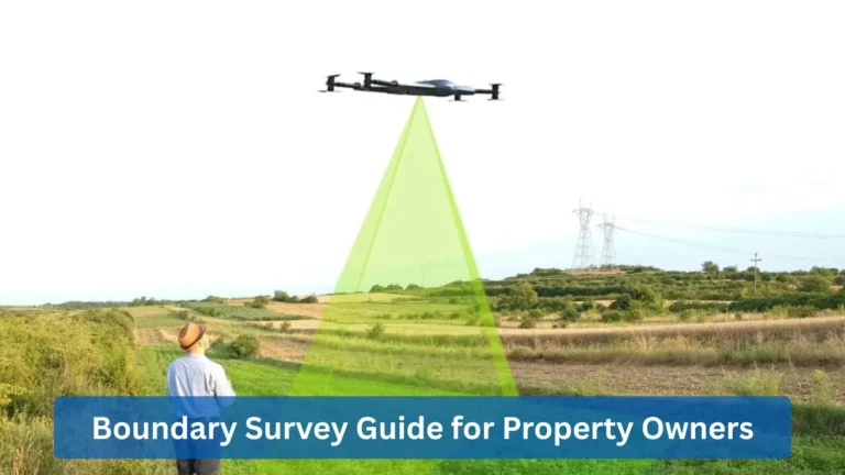
Drones have many applications that are useful in different industries, from passenger transport to logistics. You can even use a drone for industrial surveillance or use a drone for farming...

With the rise of unmanned aerial vehicles (UAVs), commercial drones are operated for business and industrial purposes. Some individuals even use hobby drones professionally for construction...
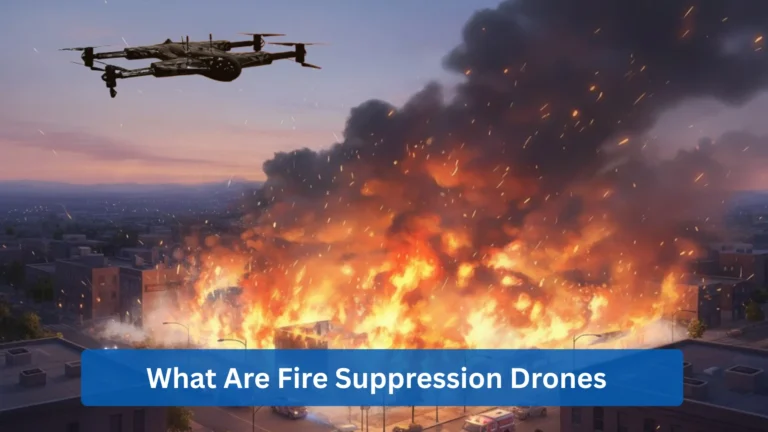
Fire suppression UAVs serve as a great tool for this purpose. They use specialized payload systems to assist directly in firefighting efforts...
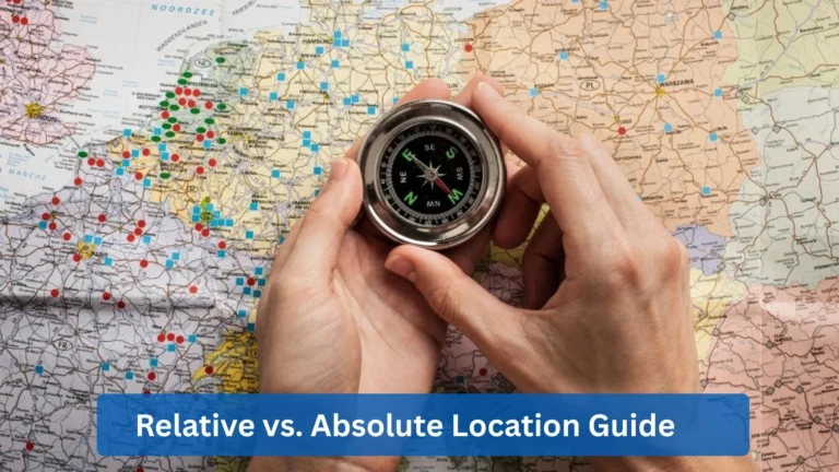
we’ll examine the difference between relative and absolute location, describe how each one works, give real‑world examples, and discuss practical applications...
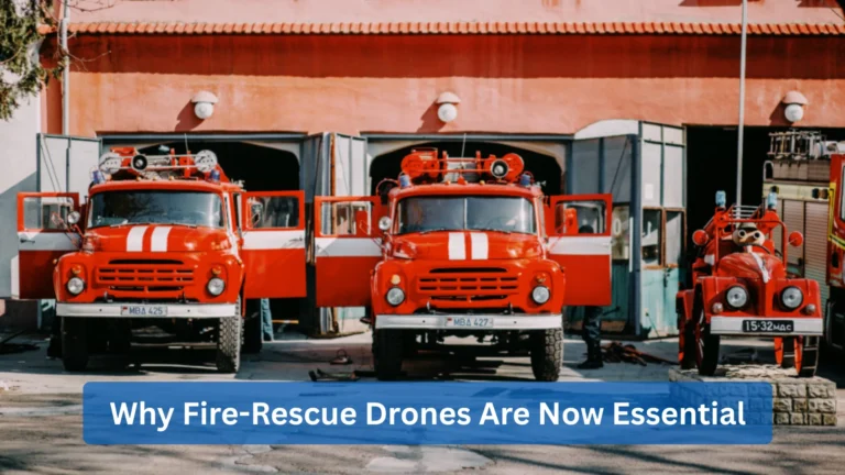
The UAVs in fire rescue operations are equipped with thermal cameras, LiDAR, and advanced vision systems that work hand-in-hand with firefighters and emergency responders...
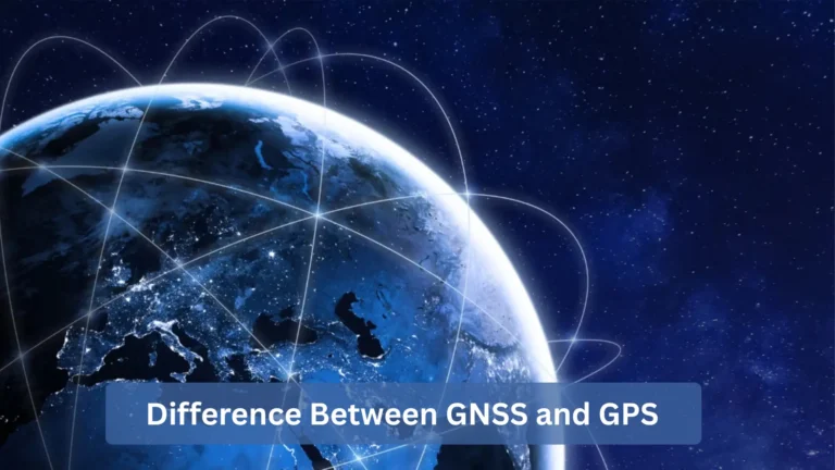
GPS (Global Positioning System) is a satellite navigation network run by the U.S., while GNSS (Global Navigation Satellite System) is a broader concept that covers all such networks worldwid...