Drones in Forest Preservation: Enhancing Conservation Strategies

Forest ecosystems support the vast majority of global biodiversity. It makes forestry one of the most important components of environmental protection for future generations. Forestry also works to preserve many animal and plant species.
Researchers, project managers, and cross-sector partnerships are adopting drones in wildlife conservation initiatives as drone technology evolves. As part of wildlife surveys, drones can spot, recognize, and follow individual animals from above. The drone-based forest inventory of comprehensive data is essential for monitoring forests.
Drones (also called UAVs) have a wide application in forest preservation, which includes:
- Aerial surveillance
- Topography
- Photography
- Thermal imaging
- Mapping
These methods by drones collect massive amounts of data that help professionals understand the state of the forests daily. The drones’ ability to capture and record high-resolution data are changing how conservationists monitor and manage forests.
The Challenges and Issues Of Forest Conservation
A drone-based forest inventory is now progressing fast in the field of conservation. Forest ecosystems are one of the most essential components of world biodiversity. For other ecosystems reliant on trees as their primary air source, the sustainability of forests is critical.
Forests are rapidly deteriorating due to the following issues:
- Ecological
- Economic
- Social
- Shifting weather and atmosphere
- Human incursion
- Illegal activities such as poaching and logging
- Large forest area
- Low labor force
- Lack of infrastructure
- Lack of financial assistance
These issues all impede efficient forest conservation and management. Acquiring precise data as soon as possible is critical for sustainable forest management.
Difficulties Faced By Forest Conservation
1. Manpower and Skills
Monitoring and observing forests is a time-consuming and labor-intensive activity. These tasks require staff and specific skills to complete field observation.
2. Obtaining the Necessary Information
One of the most severe issues confronting conservationists is a need for more reliable data, particularly population counts. Current population monitoring techniques could be more reliable, especially in difficult-to-reach places like high cliffs, deep rain forests, or underwater.
The Four Valuable Roles of Drone-Based Forest Inventory In Forestry
Drones for forest fire detection and deforestation prevention benefit incredibly in facing conservation challenges. Drones can provide vast visual data of remote locations and aid in detecting regions threatened by deforestation. Drones can also discover areas susceptible to forest fires by employing cutting-edge advanced image technologies.
Drone aerial camera can provide a plethora of information. The data is valuable in tracking environmental and plant changes. Using this information, deforestation hotspots and possible forest fire dangers help conservationists pinpoint the area. Multispectral images assist in evaluating the condition of trees in a region.
Here are four valuable roles of drones in forest conservation:
1. Creating Detailed Maps of Forests And Their Ecosystems Using Drones
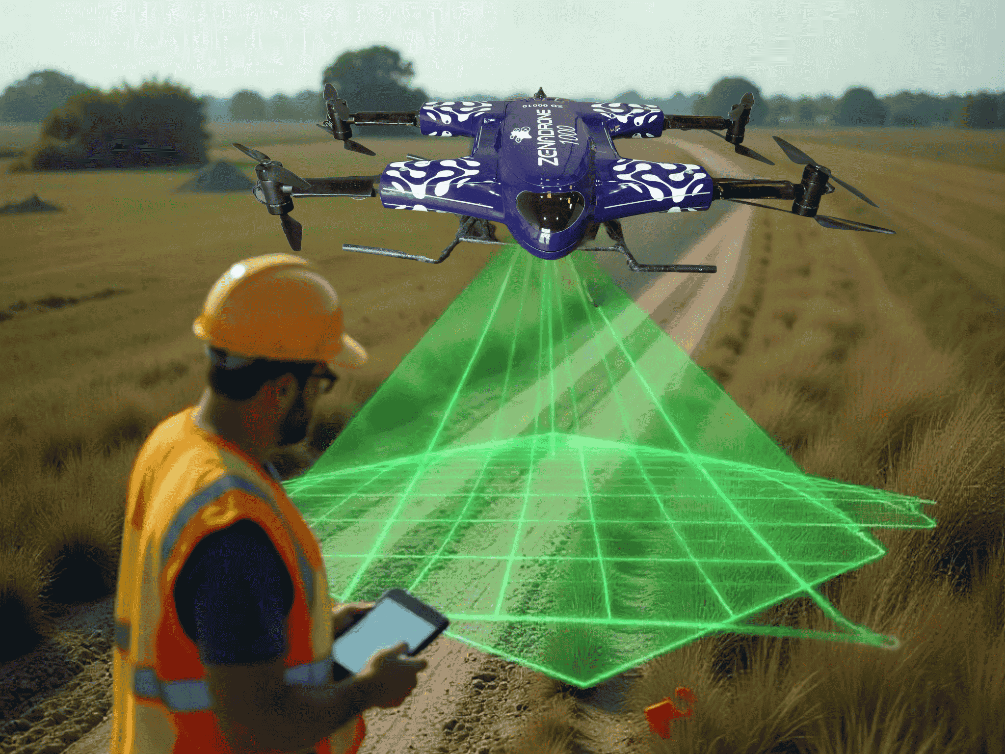
Drones have become an effective tool for precisely mapping forests and the ecosystems that support them. Reforestation drone solutions offer faster and more accurate information collection. UAVs can collect data and produce high-resolution images in a matter of seconds.
Drones need the appropriate sensors and cameras to produce accurate mapping data. The UAVs’ multispectral and thermal sensors can detect:
- Radiation released by various plants
- Forest temperature
Combining various data with aerial photography makes creating maps with new levels of detail possible.
Drone data can also assess the environmental effects of human activity. Gathered data can detect changes in land usage over time and monitor the spread of native and invasive species. Appropriate sensors and cameras can spot human incursions such as poaching and illegal logging.
2. Improved Conservation Efforts through Drone Surveillance Of Forested Areas
Drone technology is highly efficient in monitoring and safeguarding forested regions worldwide. Forest health assessment using drones makes it easier for conservations to monitor vast tracts of land. It allows them to spot habitat deterioration and land erosion.
High-quality footage from drone surveillance is available. Conservationists analyzing drone footage can provide comprehensive data on the health of forests. The data can help in designing an effective conservation strategy.
3. UAV Can Track Illegal Logging and Monitor Wildlife
Using UAVs to trace illegal logging and monitor wildlife is growing in popularity. Comparing drone technology to conventional methods reveals many advantages. Drones’ high-definition cameras and long-range infrared sensors make gathering comprehensive data across vast distances possible.
Drones can monitor remote locations where few or no observers are on the ground. Law enforcement can attain relevant evidence for prosecution through data gathered by drones.
Drones can effectively and affordably monitor the condition of nearby ecosystems. With detailed footage, drone-based forest inventory can assist in detecting changes in plants and ecosystems caused by illegal activity. Additionally, drones can track local weather patterns and climatic changes.
4. Better Estimation of Forest Carbon Content And Photograph Vulnerable Areas With Drone Cameras
Drones offer alternatives for accurately and efficiently estimating forest carbon content and photographing critical regions. Advanced UAV technologies and sensors can collect carbon content and other physical features of the ground. Conservationists and scientists can evaluate data to determine the carbon content stored in trees.
UAV imaging technology can photograph regions usually inaccessible by foot or vehicle. These areas are typically distant, densely forested, or too dangerous to trek. Drones can monitor and detect areas too hazardous for conservationists to do by foot. The imaging technology can observe endangered species at a distance to understand the consequences of climate change.
UAV Technology Now Transforming Conservation
Conservationists and scientists are racing against time to save forests and prevent further extinction of endangered species that reside within. Drones for forest fire detection gather visual data to help prevent further destruction of protected areas. UAVs provide reliable, economical, and efficient strategies for wildlife and forest conservation.
Human activities are impacting forest ecosystems, and further incursion can add more stress. Drones provide a clear view of the situation without requiring conservationists to go to the area, avoiding other harm. Researchers employ drones to cover large regions of land in a short time and with minimal people. Drones collect data faster and at a lower cost than prior methods.
Contact Us
Thank you for your message. It has been sent.
Latest Posts
Social Profiles


