Enhancing Environmental Monitoring and Conservation Efforts with Drone Technology

Drones can provide researchers and scientists with accurate and reliable real-time environmental data. Since drones can fly at high altitudes at low cost, drone data collection for conservation and monitoring has become accessible. Compared to traditional surveying methods, drones can collect data much faster. Aside from taking high-quality pictures and video footage, they can measure air quality, water quality, and soil composition.
In this article, we’ll look at how drone technology enhances environmental monitoring and conservation efforts. We’ll also look at the benefits of drone technology and how it empowers researchers and conservationists worldwide.
What are the Biggest Challenges in Environmental Monitoring and Conservation Efforts?
Biodiversity monitoring with drones is only relatively recent. While drones have become more accessible in recent years, many environmental monitoring and conservation challenges persist. Here are a few of the biggest challenges that scientists, researchers, and organizations face today:
Data diversity
Different types of data are used to assess the overall quality of wildlife habitats and natural environments. Indicators and metrics need careful input from experts in various scientific disciplines in terms of development and analysis.
Data quantity
Throughout environmental monitoring, scientists and researchers face vast amounts of qualitative and quantitative data. Examples of these include results from incident reports and investigations.
Processing and implementation
Real-time analysis is essential in decision-making. This doesn’t just extend to legislation and policies but also extends to the research process. As a result, AI and machine learning software in UAVs in environmental conservation have become essential tools.
Understanding the Use of Drones for Environmental Research and Conservation
Drone technology has become more prevalent in many industries and among scientists and researchers around the globe. High-resolution imagery and data can now be captured with accuracy and precision faster and more cheaply. It’s important to remember that deploying drones won’t solve every problem. However, they are versatile tools that help simplify data-gathering processes that would be tedious and time-consuming with traditional methods.
With that in mind, here are a few ways that communities and organizations can use UAVs in environmental conservation:
Tracking wildlife movement
When it comes to environmental research, drones provide the fastest and most reliable means of surveying and monitoring. Drone-based habitat assessment is becoming more popular in recent years among conservationists. Wildlife surveying and mapping of terrestrial and aquatic ecosystems are made much easier thanks to drones. Conservation efforts can not only identify problems faster but monitor changes over time.
Biodiversity monitoring
Studies on environmental monitoring and assessment almost always include some form of biodiversity monitoring. Today, biodiversity monitoring with drones is becoming a more popular data-gathering method. There are many reasons for doing this, including the overall speed and efficiency of drones. For example, inaccessible areas or remote locations can be difficult for researchers to access. Large swaths of terrain are also challenging to survey on foot.
Environmental assessment and cleanup
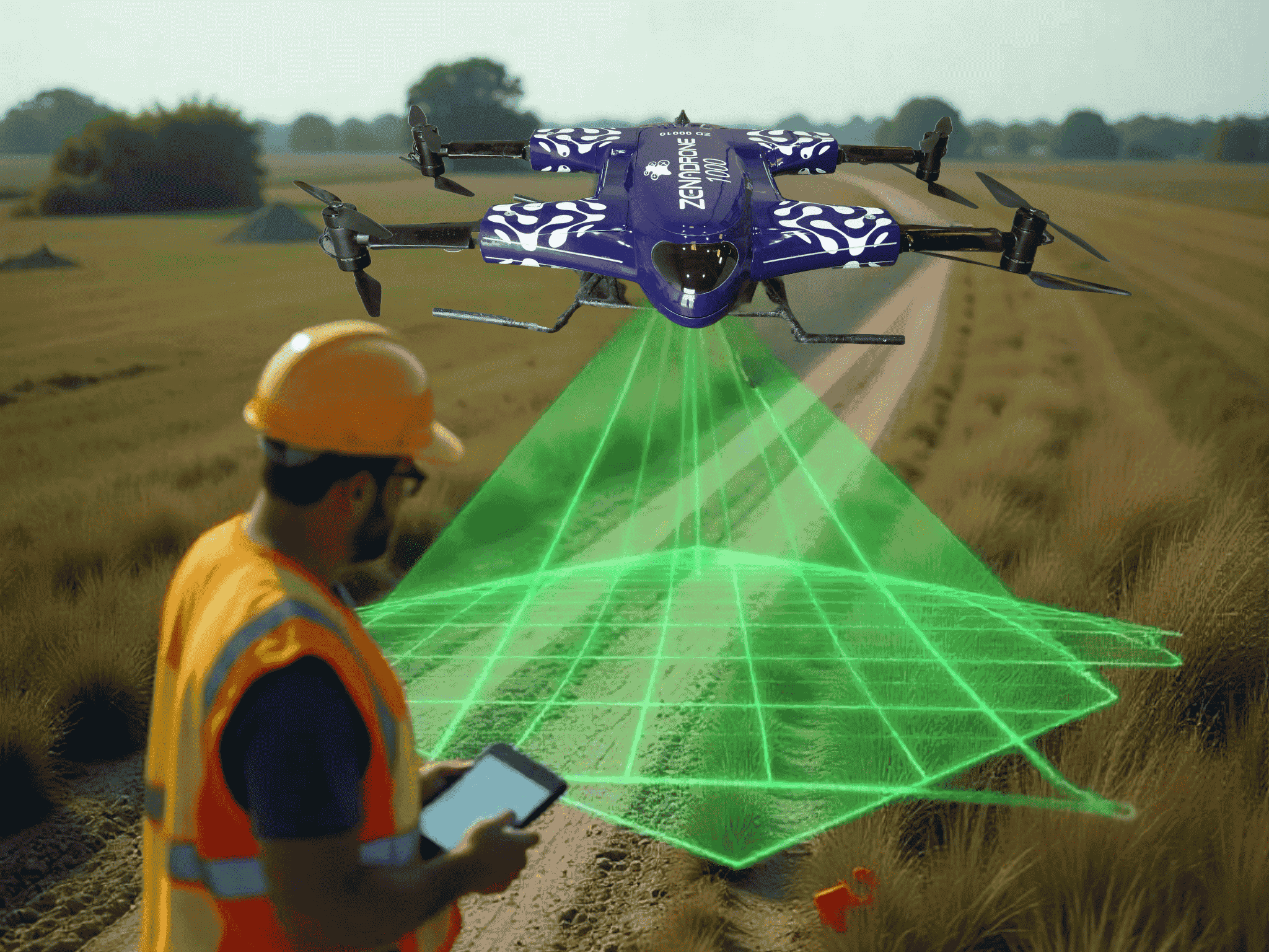
The use of drone data in various conservation efforts has produced significant results worldwide. In cases such as oil spills, deforestation, and illegal fishing, drone technology enables researchers and organizations to respond quickly and appropriately. Drones also enable long-term monitoring of areas affected by man-made disasters. Data on water, air, and soil quality and composition can be gathered more quickly thanks to special sensors and software.
Tracking poachers and/or illegal loggers
Environmental protection is also a significant part of conservation efforts worldwide. Poaching and habitat loss may threaten many threatened and/or endangered species unique to specific areas. Many conservation efforts utilize UAVs in environmental conservation to this effect. Drones are capable of thermal and multispectral imaging and object recognition to detect poachers.
What are the Benefits of Using Drone Technology for Environmental Conservation?
Drone technology is becoming cheaper and more accessible as more models enter the market. They offer many benefits for researchers and scientists, such as environmental monitoring and drone-based habitat assessment. Thanks to their various features, drones offer the following benefits that make them valuable assets:
Monitoring remote locations
Aside from drones’ ability to yield high-resolution images, they can also access remote or otherwise inaccessible terrain. They can fly over forests, lakes, or even offshore areas that can be overlooked.
Cost-efficiency
Despite the initial investment, drones offer the best cost-effective option for environmental monitoring and surveying. They are much cheaper and faster than traditional surveying methods, such as on foot or by vehicle.
Real-time data
Faster decision-making is made possible thanks to real-time drone data collection for conservation and disaster response. Drones’ special sensors allow them to collect data and transmit it to a central database immediately.
Safety
Many environments home to wildlife may be too hazardous for scientists and researchers to enter. Drones increase overall safety since they can perform data-gathering processes without putting their pilots in danger.
The Bottom Line
Drone technology has become more prevalent in many conservation efforts worldwide. Various aspects, from wildlife monitoring to protecting endangered species, have become much easier with drones. Drones are versatile tools that provide researchers and scientists with accurate and reliable real-time environmental data. Drone data collection for conservation and monitoring outpaces many traditional surveying methods in terms of efficiency and quality.
While drones alone aren’t the solution to the challenges conservation efforts face, they help obtain solutions. They are fast, accessible, and get better with every generation.
Contact Us
Thank you for your message. It has been sent.
Latest Posts
Social Profiles


