


 Deutsch
 Português

Firefighting Drones: Fire Detection & Emergency Response
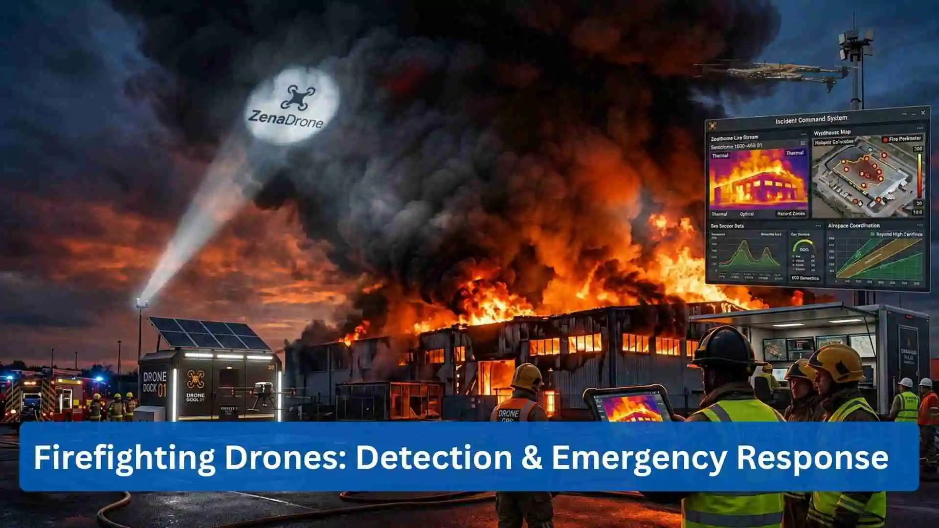
Fire emergencies create a difficult operating environment for fire departments, industrial safety teams, emergency managers and security personnel. Smoke blocks visibility, heat changes conditions quickly and damaged structures can make direct inspection unsafe. A firefighting drone gives response teams another way to see the incident from above and collect information before sending people into dangerous locations.
Modern drones for firefighting have moved far beyond basic aerial photography. A professional unmanned aerial vehicle can carry thermal cameras, optical zoom cameras, gas sensors and mapping equipment. It can stream information to an incident command center, patrol a facility perimeter, inspect a roof for hidden heat and monitor the same area after crews believe a fire is controlled.
This makes drone technology useful across detection, monitoring, response and security operations. The bigger opportunity is not about replacing firefighters. It is about giving them useful aerial intelligence at the right moment.
What Is a Firefighting Drone?
A firefighting drone is an unmanned aircraft used to support fire detection, incident assessment, emergency response and post fire monitoring. Some platforms focus on aerial observation. Other systems can carry communication equipment, sensors, emergency supplies or fire suppression payloads.
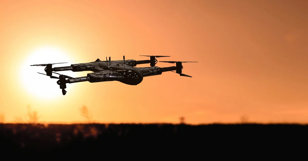
Firefighter drones can be multirotor aircraft that hover over one location, fixed wing UAVs that survey larger areas, or heavier aircraft built around specialized payload requirements.
The mission defines the aircraft.
For a warehouse fire, a hovering UAV with thermal and zoom imaging may be more useful. For a large forest fire, endurance and mapping coverage become more important. Industrial sites may need gas sensing, automated patrol routes and integration with existing security systems.
The basic capabilities commonly include:
- Thermal imaging for heat detection
- Optical cameras for visual inspection
- GPS and positioning systems for flight control and mapping
- Live video transmission to response teams
- Automated flight planning for repeatable monitoring
- Sensor payloads for environmental or gas measurements
- Mapping software for documenting fire boundaries and affected areas
This combination turns the aircraft into a mobile sensing platform rather than just a flying camera.
How Drones in Firefighting Improve Situational Awareness
Thermal Detection and Hotspot Monitoring
Thermal cameras are one of the most useful sensors carried by a firefighter drone. Visible cameras can lose much of their usefulness in darkness or heavy smoke. Thermal imaging measures temperature differences and can help teams locate abnormal heat patterns.
A drone can scan roofs, walls, vegetation and industrial equipment for hotspots that ground crews might miss. During overhaul operations, thermal inspection may help identify areas where heat remains after visible flames are gone.
This matters for wildfire response too. UAV crews can survey portions of a fire perimeter and identify heat activity that needs more attention.
Thermal information still requires trained interpretation. Hot machinery, reflective surfaces and solar heating can create confusing readings, so operators should treat thermal data as operational intelligence rather than automatic proof of active fire.
Optical Cameras and Aerial Monitoring
High resolution RGB cameras provide another layer of information. Zoom capability lets operators inspect rooftops, windows, tanks, utility infrastructure and access routes without positioning the aircraft extremely close to a hazard.
During a large incident, one aerial view can show several things at once: fire movement, emergency vehicle positions, evacuation routes, nearby structures and the movement of response personnel. That shared view can make coordination easier between firefighters, Emergency Operations Centers and other agencies.
Firefighting Drones for Perimeter Surveillance and Aerial Security
Fire response and security operations frequently overlap. A major industrial fire, wildfire or infrastructure incident may create a large restricted perimeter that needs continuous monitoring.
Aerial security drones can watch access roads, fence lines, evacuation zones and staging areas. Operators may use optical and thermal cameras to detect vehicles or people entering restricted sections of the site.
For critical infrastructure, a drone security system can connect aerial monitoring with fixed cameras, access control systems and ground sensors. If a fixed sensor reports abnormal heat near a storage area, for example, a drone could be sent to inspect that location and provide visual information.
Fire scenes present security concerns too. Damaged facilities may contain hazardous materials, exposed assets or unstable structures. Drone surveillance provides incident teams with another source of visibility without requiring security staff to physically patrol every unsafe area.
Autonomous Drones and Drone Docking Stations
Automated Emergency Deployment
Autonomous drones are creating a different model for fire monitoring. Instead of storing the UAV in a vehicle and waiting for a pilot to arrive, organizations can position an aircraft inside a drone docking station at a facility or operational site.
The docking station provides a protected location for the aircraft between missions. Depending on the system, it can support battery charging, mission scheduling and automated launch and recovery.
A sensor alert could trigger an operational workflow where authorized personnel review the event and deploy the UAV. The drone follows a planned route, collects thermal and visual information then returns to its dock.
For facilities with recurring inspection needs, this can be really useful.
Persistent Monitoring
Drone docking stations have particular value for solar farms, industrial plants, warehouses, oil and gas sites, utilities and locations near areas with elevated wildfire exposure.
Scheduled autonomous flights can inspect known risk points before an emergency happens. This creates another layer between conventional security monitoring and emergency response.
Autonomy does not remove operational responsibility. Flight authorization, airspace restrictions, weather, communications reliability and emergency procedures still have to be managed. The system is automated, but accountability remain with the organization operating it.
Drone Sensors for Fire Detection and Emergency Operations
Thermal Cameras and Optical Imaging
A capable firefighting drone may carry several sensor types on the same mission.
Thermal cameras identify temperature differences. Optical cameras document visible conditions. Zoom cameras allow distant inspection. LiDAR can support three dimensional mapping in certain operations, and environmental sensors may measure gases or air quality.
Gas sensors are particularly interesting for industrial fire and HazMat missions. Sending a UAV into a questionable area may provide early readings before a ground team approaches it.
Sensor selection needs to match the actual mission instead of putting every available sensor onto one aircraft. Extra payload weight reduces flight time and can change aircraft performance.
Mapping and Location Data
Drone mapping can create an updated picture of the incident area. For wildfires, georeferenced imagery can support perimeter assessment and resource planning. At structural incidents, aerial photographs can document roof damage and nearby exposures.
After the event, the same data can support investigation, training and damage assessment. Data management becomes part of the operation at that stage, since imagery may contain private property, people, security infrastructure or evidence.
Drone Security Systems and Cybersecurity
A firefighting drone is part aircraft and part connected information system. That creates security requirements that fire departments and private operators should not ignore.
Live video, telemetry, flight logs and location information can contain sensitive data. Access should be controlled and operational accounts should follow proper credential management. Software and aircraft firmware need approved update processes.
Organizations should review several areas:
- Encryption for command and video communications
- User permissions for pilots and command personnel
- Secure storage of images, maps and flight records
- Device and firmware management
- Procedures for lost communication or unexpected aircraft behavior
- Logging of operator activity and data access
- Retention rules for incident footage
Physical security matters as much as cyber security. Aircraft, batteries, controllers, sensors and docking stations need protected storage when they are not operating.
For public safety agencies, privacy policies deserve similar attention. A drone responding to a fire can easily record neighboring homes, businesses and people who have nothing to do with the incident. Agencies need clear rules covering collection, access, retention and release of aerial data.
Flight Operations During Fire Emergencies
Airspace Coordination
A fire scene can become a complicated aviation environment. Helicopters, fixed wing fire fighting aircraft, medical aircraft and other public safety UAVs may operate nearby.
Unauthorized drones can create serious problems around wildfire aviation activity. Firefighter drone operations need clear command procedures so the UAV team knows where and when aircraft may safely fly.
In the United States, public safety UAS programs can operate under applicable FAA frameworks, and departments need appropriate authorization for their missions. ZenaDrone's existing fire department material discusses Part 107, public aircraft operations and operational procedures as parts of building a compliant program.
Communications and Crew Coordination
A drone pilot cannot focus just on the video screen. The pilot has to manage aircraft position, obstacles, battery state, weather and other aircraft in the area.
For complex missions, visual observers and clear communication with incident command can reduce workload. It may look simple from outside, but emergency UAV operations can get pretty busy very fast.
Flight logs, maintenance records, battery records and preflight inspections should be treated as part of normal operations rather than paperwork that gets done later.
Detection, Response, and Fire Suppression
Detection is one part of the mission. Response is another.
Some firefighting drones are being developed or deployed around direct suppression tasks using water, foam, retardant or other fire control payloads. ZenaDrone's fire suppression coverage distinguishes these aircraft from observation drones and describes payload carrying UAVs as tools that can support response in hazardous or difficult locations.
Payload delivery creates difficult engineering questions. More payload means more aircraft mass, which affects endurance, handling and energy use. Heat, smoke, wind and turbulence can make those problems harder.
This is why the firefighter drone should be viewed as part of a response system. One aircraft may map the incident. Another may maintain overwatch. Ground crews perform suppression and rescue, and command staff combines these information sources into operational decisions.
Firefighting Drone Market and Industry Direction
The firefighting drone market is moving from individual aircraft purchases toward integrated UAV programs. Agencies are looking at aircraft, sensors, software, communications, training, docking stations and data systems together.
Autonomous monitoring is another major direction. Artificial intelligence can assist with identifying temperature anomalies, objects or changes in imagery, yet human review still matter in safety critical decisions.
Drone fleets may eventually divide missions between multiple aircraft. One UAV could maintain thermal observation, another could map the perimeter and another might carry a specialized payload. This creates redundancy and gives incident command several aerial data sources.
Fire and rescue UAV applications already extend into structural assessment, wildfire observation, victim searches and hazardous material incidents.
What Should Fire Departments Look for in a Firefighter Drone?
A department should start with operational requirements rather than the most popular aircraft.
Important factors include:
- Thermal and optical camera performance
- Flight endurance under realistic payload conditions
- Wind and environmental operating limits
- Payload flexibility
- Secure communication
- Mapping and live streaming capability
- Maintenance requirements
- Training and regulatory support
- Data security controls
- Docking station compatibility where autonomous operations are planned
The best system for a rural wildfire team may be very different from one used by a city department or industrial security unit. One size really does not fit every mission.
Frequently Asked Questions About Firefighting Drones
What are firefighting drones used for?
Firefighting drones are used for fire detection, thermal inspection, aerial monitoring, hotspot identification, mapping, search support, perimeter surveillance, incident documentation and, with suitable aircraft, fire suppression support.
Can drones see through smoke?
Thermal cameras can detect heat patterns in conditions where normal visual cameras have limited visibility. Performance varies with smoke density, sensor capability, distance and environmental conditions.
Can autonomous drones detect fires?
An autonomous drone can conduct scheduled patrols and collect thermal or visual information. Software can flag possible anomalies for review. A drone docking station can support repeated missions from a fixed operating location.
Are drones useful after a fire is controlled?
Yes. Drones can inspect remaining hotspots, document structural damage, map the affected area and monitor locations where rekindling could occur. This is one of those jobs that looks small but can provide very useful information.
What role does drone security play in firefighting?
Drone security covers the aircraft, communication link, operational accounts, recorded imagery and supporting infrastructure. Fire response data can contain sensitive location and security information, so cyber security and physical security need to be part of a UAV program.
Contact Us
This site is protected by reCAPTCHA and the Google Privacy Policy and Terms of Service apply.