How To Make A Topographical Land Map Using A Drone?
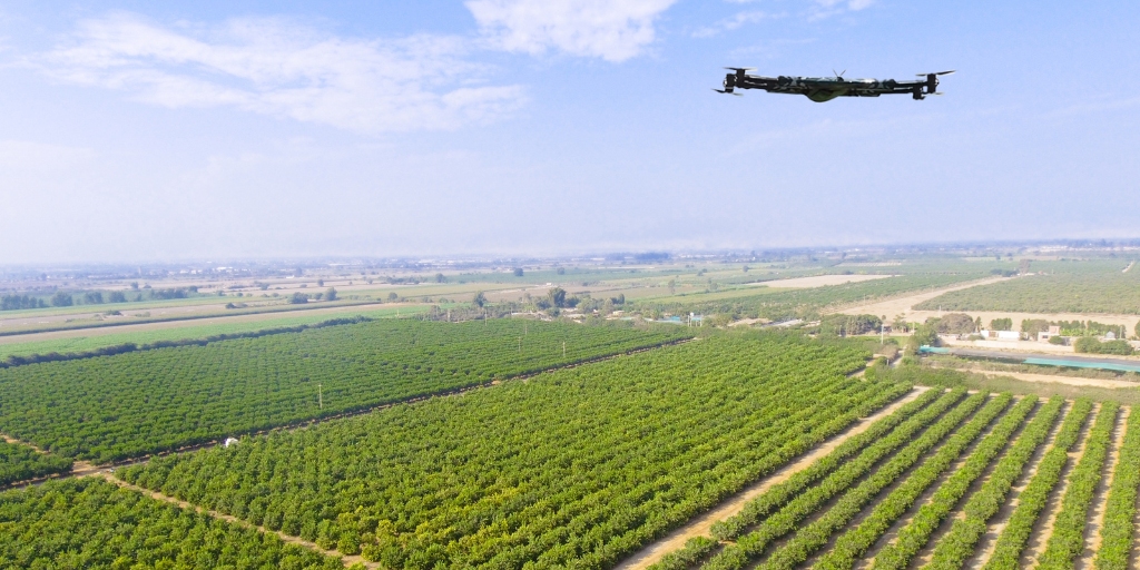
Aerial surveying, also known as drone mapping, is the process of aerial photography. The drone uses software that digitally puts the captured images into a detailed site map. Drones help GIS (geographic information systems) professionals in land surveys. Software’s such as Drone Deploy provides a dynamic tool for topographical surveys. UAV technology makes it possible to acquire high-resolution imaging and measurements in a small amount of time and with lesser costs.
Modern technologies are changing the production and the use of traditional mapping methods. More importantly, the information age has brought new drone technology to enhance mapping accuracy. Digital technology extends mapping capabilities beyond conventional limitations and increases the capacity for more information.
This article will cover how to make topographical maps using drones.
Topographical Maps: The Fundamentals
A map is the best resource for cataloging and viewing mass distribution on the Earth’s surface. There are many uses for maps of all kinds, including road maps, political maps, land use maps, and world maps. The topographic map is one of the most often utilized of all maps. The maps use outlines to represent the shape and elevation of the terrain. Drone Deploy provides mapping technology from any angle and any angle, enhancing details.
Topographic maps depict the terrain’s three-dimensional peaks and valleys on a two-dimensional surface. Typically, topographic maps show both natural and man-made features. The features include:
Mountains
Valleys
Plains
Lakes
Rivers
Vegetation
Roads
Transmission lines
Buildings and other large structures
Topographic maps provide a wide range of helpful information to professional and casual map users. Typical users of topographic maps are:
Engineering
Resource conservation
Public works design
Commercial and residential development
Environmental management
Energy research
Drone Survey In Topographic Maps
Drone mapping has become a mainstay of surveying thanks to drone and UAV technology advances. Free drone software helps with better aerial mapping than large-camera aircraft. Governments and multinational corporations were the only ones with access to such technology and services due to their high cost.
Consumer camera drones are now widely used by the general public thanks to advances in:
Cameras
Semiconductor
Electric propulsion
Battery technology
At the same time, small firms could now afford high-precision enterprise solutions.
Topographical Maps Via Drones: How It's Done
The drone survey uses UAVs to collect aerial data using RGB sensors, multispectral cameras, and LiDAR payloads. The drone photographs from various angles and tags each image with coordinates. One of the main applications for drone cameras emerged after removing the technological barrier: digitization and mapping for surveying purposes. The best free drone mapping software assists in better drone mapping with different phases. Three main stages make up mapping: data acquisition, data processing, and analysis.
Data Acquisition
Aerial photography used for data acquisition has a specific objective and subject. Even though the process might need certain elements, the target could be anything on the Earth’s surface or beyond. For example, photogrammetry for a 3D surface is vital. Software’s such as the Drone Deploy cloud software is one of the world’s top drone photogrammetry software. Surveyors must adhere to the recommended procedures for taking photos for photogrammetry. Specific precision standards for the equipment are frequently necessary for survey-grade results. The data acquisition stage includes the required processes for gathering additional data.
Data Processing
The next step in drone mapping is data processing. Human input of data only serves as a guide for hardware and software. Automation of data processing produces something entirely different from the raw data. A photogrammetric method needs only one button push to convert 2D photographs into 3D models. Other simulations and measurements are also possible from the acquired 2D images.
Data Analysis
The last step of drone mapping is data analysis, which is the most crucial step. People use drone data analysis in conjunction with various tools to accomplish this. Without drones, data analysis was only possible using satellite data alone. Drone mapping software offers excellent resolution and accuracy without cost.
Advantages of Using Drones in Mapping
Accurate maps are precious. Drones mapping offers for surveyors to view the site bigger and more accurately.
Draw a Map of Areas Otherwise Inaccessible
Almost anywhere is a possible takeoff point for an aerial mapping drone. Traditional measuring tools have restrictions by inaccessible areas, dangerously steep slopes, or harsh terrain. Surveyors using mapping drones don’t need to close roads or tracks during operations. They can collect data on open roads without incurring organizational costs.
Cut Back On Fieldwork and Survey Expenses
Drone software open source can collect topographic data up to five times more quickly with less labor than traditional methods. Surveyors can also save time with PPK geo-tagging since placing numerous coordinates is no longer necessary. In the end, users deliver survey results more quickly and for less money.
Deliver Accurate and Complete Data
Total stations only take individual point measurements. A single drone flight can generate thousands of measures with various format representations. The different formats include:
Point cloud
DTM
Contour lines
DSM
Orthomosaic
And many more
Drone Survey Precision: How to Do a Proper Survey
Industries such as construction use drones for mapping and monitoring building progress. The mining industry utilizes drones to measure stockpiles and design pits to ensure the safety of workers. The precision of drone mapping creates limitless possibilities to overcome challenges.
Here are three crucial ways to do a better drone survey:
Check the Drone, Flying Regulations, And the Weather
It’s vital to check beforehand the flying regulations in the area. Ensuring the drone has a full battery and memory card and is correctly connected to devices. It’s also crucial to check the weather updates if rain, smog, or strong winds could hinder drone operations.
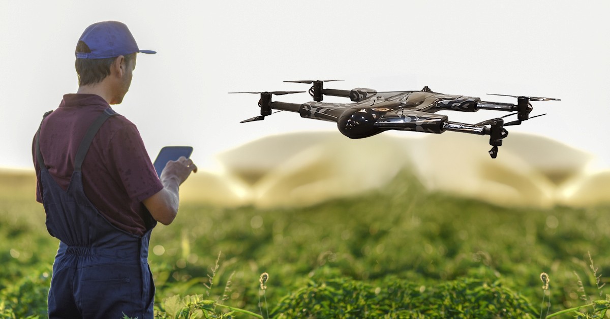
Create a Flight Plan
The Drone Deploy software can assist in creating flight plans on devices. Surveyors can change and adjust flight plans. The operator keeps in mind the survey operation and ensures no one approaches the drone during takeoff or landing.
Carefully Geo-tag Images
Geo-tagging positions are vital. Points X, Y, and Z helps plan out the map better and with clarity. Tagging images makes sure everything is clear and precise in the documentation.