


Fixed-Wing Drones: Revolutionizing Aerial Mapping The civil and earthworks industries now inspect job locations using drone technology. Unmanned aerial vehicles...

19-22 April 2023 Friedrichshafen, Germany
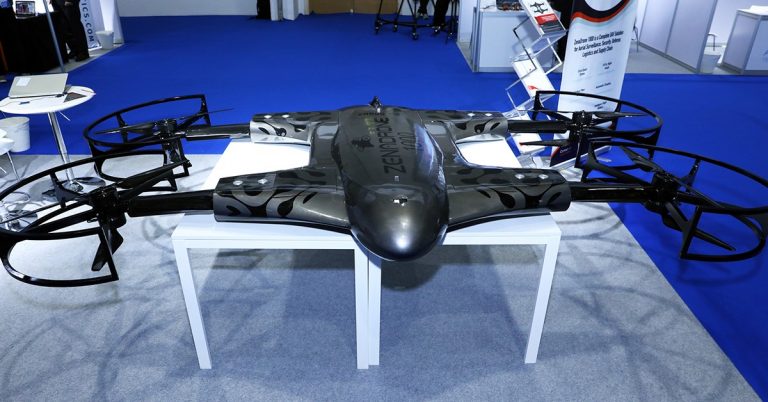
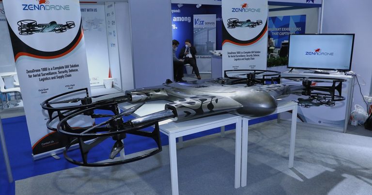
ZenaDrone continues to take the aviation industry by storm this April as the ZD team will showcase itsflagship model...

Transforming Construction and Real Estate: The Advantages of Drone Cameras for Surveying and Inspection In recent years, drone technology has...
The Advantages of Long-Range Drones for 3D Mapping and Modeling Mapping and 3D modeling are essential for construction firms, architectural...
A Bird’s-eye View: How Drone Cameras are Enhancing Aerial Photography Aerial photography has a long history dating back to the...
In the last few years, drone photography has increased globally. At first, most saw it as a toy for some enthusiasts. The growing demand for aerial imaging for commercial and consumer industries...