The Advantages of Long-Range Drones for 3D Mapping and Modeling
Mapping and 3D modeling are essential for construction firms, architectural projects, infrastructure companies, environmental agencies, development and urban planning purposes, and more. This procedure allows the entity to view the target location or site comprehensively and totally. The manual process can take much time, effort, and workforce. Therefore, companies that need frequent Mapping adopt advanced solutions to make it more efficient and faster. One commendable method that allows Mapping to be convenient and accessible to do is the help of long-endurance drones. In this blog, read how this technology can give precision and accuracy in creating 3D Mapping and modeling.
What is 3D Drone Mapping and Modeling?
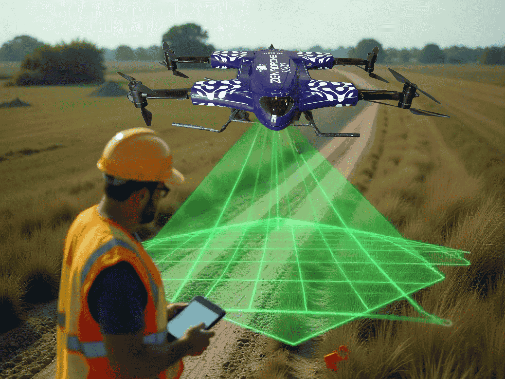
3D Mapping and modeling refer to the procedure allowing users to present the subject or object in a three-dimension profile. It is an advanced way of visualizing and presenting a particular entity. Instead of normal mapping and modeling, it gives a realistic view that allows planners and authorities to utilize it for a more comprehensive understanding of the subject. Utilizing heavy-lift long-range drones allows surveyors and map makers to view the location through an aerial perspective better. As most advanced drones come with artificial intelligence, the technology helps them make 3D Mapping and modeling much more accessible and efficient. Here is how it is advantageous to the job.
Advantages of Utilizing Long-Endurance Drones
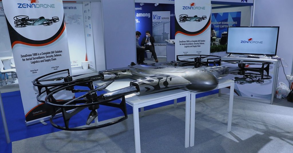
The long-endurance drones can take extended and extensive flight operations. It is an aerial vehicle that sometimes supports automated flight or is controlled remotely. Here are some of the most known functionalities that benefit mapping and modeling.
Provide Precise Aerial Imaging
Drone technology with high-quality cameras can provide aerial imaging from a better perspective. It supports downward-facing cameras that can cover the entire vicinity or situation. This aerial imaging can help users to photograph or record the subject from different angles. The long-range drone with night vision can ensure that mapping can go beyond daylight. Advanced drones also support geotagged images with coordinates, aiding the 3D Mapping and modeling much more efficiently.
Accurate and Well-Detailed Footage
In strengthening the imaging, advanced long-endurance drones come with high-resolution cameras that can take crisp and vivid footage. It supports higher pixel density, which helps in more accurate aerial mapping and surveying. Creating the 3D map and model can be more well-detailed through it. In addition, these drones support multispectral sensors that enable the drone footage to present further details on its footage. For instance, surveyors can take the weather condition or the site’s temperature during the mapping as it will reflect in the drone system. Also, advanced drones can ensure stability, an essential functionality in acquiring accurate and precise aerial data.
Supports Safer Surveying Procedure
Surveying and Mapping can also be dangerous, especially if the vicinity is prone to hazards. For instance, there can be unfortunate problems in mapping oil pipelines, which can be risky for the surveyors. Hence, the team can utilize a long-range drone with night vision to accurately view and record the location and situation. The sensors will help give details and notify of any hazard during the surveying. For example, some drones have thermal sensors that can evaluate the vicinity temperature; thus, in case of abnormality, the surveyors can immediately address the situation since advanced drones also support real-time viewing.
Covers Wider and Higher Reach
Long-range cargo drones can map and survey in broader and higher locations. Most of these drones feature extended flight operations, meaning they can cover vast areas thoroughly. Regarding development and urban planning, map makers and surveyors can smoothly reach complicated and dangerous regions. Manual Mapping will take time and workforce for the management to cover everything. It is also risky, and chances of inaccuracy are inevitable. However, drones designed for extended operation hours can cover a wider area. In addition, drone solutions are best known for reaching heights in the most accessible way.
Time and Cost-Effective Method
Since long-range drones can precisely map with a commendable reach, this solution can guarantee that its users save time and resources. Instead of the usual renting of aircraft, which can be expensive, renting or investing in drone technology is more cost-effective. For industries that take 3D Mapping and modeling frequently, getting a price-worthy drone with outstanding performance is good for the long run. It saves resources while also reducing the unnecessary workforce. Management will only need to hire the ones they need the most and allow the drone to aid their work. Most advanced drone highlights automated scheduled flight operations, making regular surveying much more manageable than it used to be.
Gather In-Depth Visual Data
It is crucial for 3D Mapping and modeling to have accurate and in-depth visual data as it is the foundation for building a realistic presentation. During flight operations, the drone may have challenges in deploying it. For instance, in construction work, expect that there can be inevitable obstacles all the way. Those heavy-lift long-range drones typically support obstacle avoidance feature that helps secure precise data. Besides the high-resolution images and 4k-quality videos, these drones can provide and detect problems that are hard to identify through the naked eye. For instance, the drone can quickly show issues like property cracks and displaced wires, allowing the surveyors to highlight them. Hence, it helps produce a vivid and well-detailed 3D map and model.
How Some Sectors Utilize Long-Range Drones for 3D Mapping?
- Urban Planning: As mentioned above, 3D Mapping and modeling are essential for this job. To develop a particular location, they must have a better eye viewing of what is happening below. Long-range drones allow them to measure and plan the changes and maintenance needed.
- Powerline Inspection: Energy companies utilize mapping to track their transmission lines, cell towers, and other entity under them. Those long-range cargo drones can make surveying much more manageable. Besides that, it can also offer additional features, like loading stuff during the operation.
Infrastructure Industry: 3D Mapping and modeling are vital to these sectors, like architectural firms and construction work. Forming a map or model is a necessary procedure before the project starts. And during the work process, it serves as a framework and guide on how it is going. Hence, drone solution is one of their tools that makes their work smoother and more efficient.
Takeaway
Drone solution is a go-to aid for sectors that need 3D mapping and modeling. It can provide precise and accurate data essential for producing a well-detailed visualization. The range for drones plays a crucial role in determining how effectively these drones can cover large areas, especially in construction and real estate projects. Long-endurance drones strengthen the output even more by extending coverage. Beginner drones with cameras, affordable drones with cameras, best drones with 4K cameras, and mini drones with cameras are all available options for different types of users, each offering varying range for drones to suit specific needs. Legal and ethical considerations are also essential for safe and responsible drone usage. As drone technology continues to advance, we expect to see further innovation and applications in construction and real estate
Contact Us
Thank you for your message. It has been sent.
Latest Posts
Social Profiles


